What is recorded here
Located at the bottom of a W-facing slope in a coniferous forest. A collapsed Man-made underground passage is visible as a sunken area (dims. 4m x 2m) with some stones defining its edge at the centre of cashel (LE015-035001-).
Compiled by: Michael Moore
Date of upload: 2 October 2016
The monument record does not grant public access. Check the route and ask the landowner before entering private land.
- What survives
- Recorded monument
Places near here
 IndicatedFairy fort / stone ringfort · 920 yd
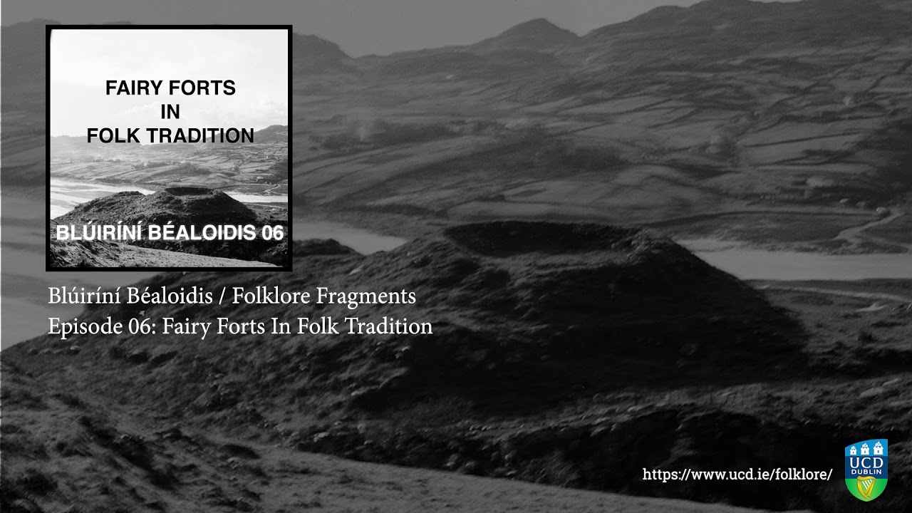 Fairy fort / earthen ringfort in SocksFairy fort / earthen ringfort · 1075 yd
 Church (in Ruins)Church · 1.0 mi
 kilnkiln · 1.2 mi
 Green IslandIslet · 1.7 mi
 Old HallCastle, hall-house · 2.9 mi
 BenboMountain / peak · 3.5 mi
 The Giants GraveArchaeological place · 4.1 mi
 Giants RockNamed rock · 4.1 mi
 Doonbran Isd.Bawn · 4.2 mi
 Cullentra ForestForest · 4.6 mi
 Parke's CastleHeritage attraction · 4.6 mi