What is recorded here
Located to W of centre in the interior of Rosses Upper rath (SL008-102001-). A roughly rectangular U-shaped depression (dims. NNW-SSE 6m; NNE-WSW 2m; D 0.4m) may indicate a collapsed Man-made underground passage.
Compiled by: Patrick F. O'Donovan
Date of upload: 21 April 2011
The monument record does not grant public access. Check the route and ask the landowner before entering private land.
- What survives
- Recorded monument
Places near here
 Enclosure in Rosses UpperEnclosure · 498 yd
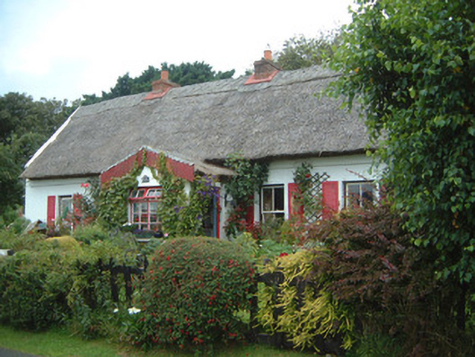 An Sean Tuíhouse · 824 yd
 Church (Site of)Church · 1065 yd
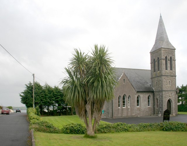 Rosses Point Church (Drumcliff)church/chapel · 1159 yd
 Waiting on ShoreMemorial · 1608 yd
 Rosses Point BeachBeach / strand · 1710 yd
 Oyster IslandIslet · 1.1 mi
 Drumcliff BayBay · 1.1 mi
 Finned PointHeadland · 1.2 mi
 Ballyigilgan Nature ReserveNature reserve · 1.8 mi
 CastleCastle, unclassified · 1.9 mi
 Paddy McGowan's WoodWood · 1.9 mi