What is recorded here
In a possible rath (MA111-036----), now levelled. There is a local tradition that there is a Man-made underground passage in the rath, which was said to extend N towards another rath (MA111-035----), also levelled.
Compiled by: Jane O'Shaughnessy
Date of upload: 21 December 2022
The monument record does not grant public access. Check the route and ask the landowner before entering private land.
- What survives
- Recorded monument
Places near here
 Enclosure in RobeenardEnclosure · 671 yd
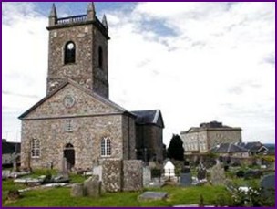 IndicatedFairy fort / earthen ringfort · 1014 yd
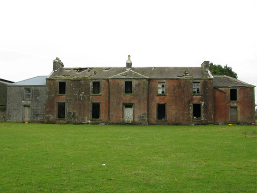 Kilrush Houseschool · 1073 yd
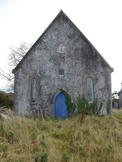 Hollymount Presbyterian Churchchurch/chapel · 1294 yd
 Castle (ruin)Castle, unclassified · 1.5 mi
 Bunacrower CastleCastle · 2.5 mi
 SycamoreSycamore · 2.6 mi
 Geoffrey's WoodForest · 4.7 mi
 Land of the GiantsHeritage attraction · 5.8 mi
 Creevagh IslandIslet · 5.8 mi
 Connors IslandIslet · 6.0 mi
 Quiet Man MuseumMuseum · 11 mi