What is recorded here
Reentrusk holds a blocked underground chamber beside its church, recorded in 1972 and still closed to entry. The small north-facing hole may have let people leave the sacred yard without crossing it twice, or it may have hidden what the church did not wish shown. Either way, the stones above the chamber remember a choice about who could enter and what could be kept from view.
In an ecclesiastical enclosure (CO114-021001-), 6m to the W of a church (CO114-021002-). O'Shea and Crowley (1972, 43) noted 'traces of a possible Man-made underground passage' in the enclosing wall of the enclosure. A small N-facing opening (Wth 0.5m; H 0.55m) blocked with stones is evident in the enclosing wall. According to local information, this opening leads to a stone-built lintelled chamber. It was not accessible.
The above description is derived from the published 'Archaeological Inventory of County Cork. Volume 1: West Cork' (Dublin: Stationery Office, 1992). In certain instances the entries have been revised and updated in the light of recent research.
Date of upload/revision: 14 January 2009
The monument record does not grant public access. Check the route and ask the landowner before entering private land.
- What survives
- Recorded monument
Places near here
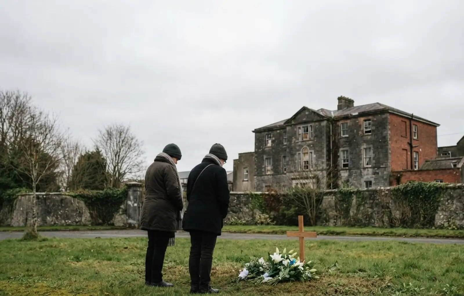 Children's burial ground in ReentruskChildren's burial ground · 19 yd
 Hut site in ReentruskHut site · 80 yd
 Blue IslandsIslet · 220 yd
 DooneenViewpoint · 1228 yd
 Industrial chimney in AllihiesIndustrial chimney · 1245 yd
 Old Copper MineRuins · 1351 yd
 Black RockIslet · 1424 yd
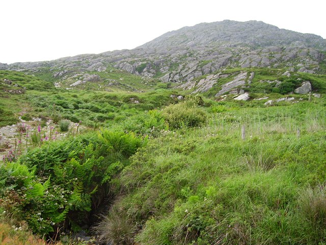 Eagle HillMountain / peak · 1612 yd
 KnocknagallaunMountain / peak · 1.1 mi
 Allihies Copper Mine MuseumMuseum · 1.5 mi
 Caherkeen Mass RockHeritage attraction · 1.5 mi
 Ballydonegan StrandBeach / strand · 1.5 mi