
What is recorded here
In rough pasture, in the SW corner of a field overlooking Ballydonegan Bay to the S. The remains of a square hut site (4.4m N-S; 4.2m E-W) defined by the lower course of a stone wall (T 0.5m; H 0.4m), which consists mainly of large stones along the N and the E walls. A recent stone field wall appears to overlay the enclosing elements along the S and W walls. Smaller stones from the N and E walls of the hut site may have been used to build the recent field walls, leaving the large stones that now define the N and W sides of the hut site. This hut site is known locally as 'the cell'.
The above description is derived from 'The Archaeological Inventory of County Cork. Volume 5' (Dublin: Stationery Office, 2009).
Date of upload: 22 December 2009
The monument record does not grant public access. Check the route and ask the landowner before entering private land.
- What survives
- Recorded monument
Places near here
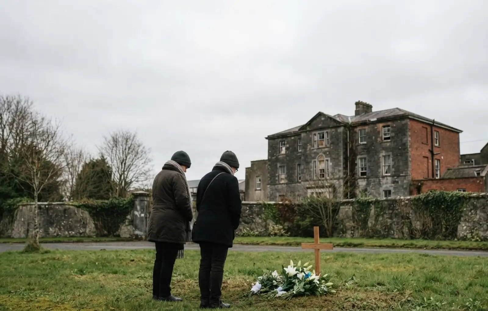 Children's burial ground in ReentruskChildren's burial ground · 91 yd
 Blue IslandsIslet · 178 yd
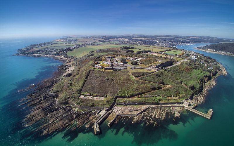 Promontory fortPromontory fort, coastal · 1175 yd
 DooneenViewpoint · 1213 yd
 Industrial chimney in AllihiesIndustrial chimney · 1226 yd
 Old Copper MineRuins · 1332 yd
 Black RockIslet · 1433 yd
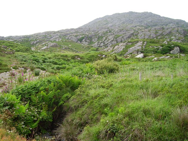 Eagle HillMountain / peak · 1679 yd
 KnocknagallaunMountain / peak · 1.1 mi
 Allihies Copper Mine MuseumMuseum · 1.4 mi
 Ballydonegan StrandBeach / strand · 1.5 mi
 Caherkeen Mass RockHeritage attraction · 1.6 mi
Other information
Photo: Credit not shown in the picture search · Rights wording not checked; contact us if this picture should be removed