What is recorded here
Situated on a low rise, in undulating pasture with good views to N and NE, overlooked by higher ridges to SE, S and SW. In the NW half of the interior of ringfort (WM018-050----). Described in 1980 as a roughly Z-shaped depression which may be a collapsed Man-made underground passage. This is a grass-covered hollow and there are no stones visible. It extends from inside the bank at W toward the centre and from there to the scarp at N.
Compiled by: Alison McQueen, Vera Rahilly and Caimin O’Brien
Date of upload: 04 February 2019
The monument record does not grant public access. Check the route and ask the landowner before entering private land.
- What survives
- Recorded monument
Places near here
 Partially hachuredFairy fort / earthen ringfort · 349 yd
 Megalithic structure in Ballyglass (rathconrath By.)Megalithic structure · 564 yd
 RathconrathCastle, motte · 855 yd
 CastleCastle, unclassified · 871 yd
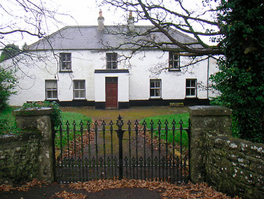 Ballyglass Househouse · 893 yd
 P. Gunninghouse · 910 yd
 Ancient Ring FortWood · 951 yd
 Hill of UisneachMountain / peak · 3.7 mi
 Baronstown ForestWood · 4.4 mi
 Carrickphilbin IslandIslet · 5.2 mi
 Abbeyshrule AbbeyRuins · 6.3 mi
 Guest ServicesVisitor information · 7.7 mi