What is recorded here
The following description is derived from both the published 'Archaeological Inventory of County Louth' (Dublin: Stationery Office, 1986) and the 'Archaeological Survey of County Louth' (Dublin: Stationery Office, 1991). In certain instances the entries have been revised and updated in the light of recent research.
Date of upload/revision: 17 July 2007
Situated within enclosure (LH011-022001-) showing as a cropmark on aerial photograph (CUCAP, BDG 92). Drystone-built Man-made underground passage, of complex type, consisting of four passages. Passage 1 (L 2.7m, Wth 1m, H 1m) extends W-E and is blocked at W end by collapse from the modern entrance. A drop-hole at E end gives access to Passage 2 (L 8.2m, Wth 1m, H 0.8m) extending W-E at a lower level. At E end of this passage an air-vent extends N. A drop-hole at this point gives access to Passage 3 which extends NW-SE (L 3.2m) then N-S (L 7.2m). A rock ledge in mid-passage forms a natural drop-hole or step which divides the passage in two. At the S end of Passage 3 is a recess (L 0.6m, Wth 0.6m, H 0.5m). A creep in the W wall at the S end of the passage gives access to Passage 4 (L 9m, Wth 1m, H 0.9m) which extends E-W for 3m; a drop hole gives access to the remainder of the passage at an upper level. At the W end the passage is blocked by collapse. (CLAJ 1962, 125-30)
The monument record does not grant public access. Check the route and ask the landowner before entering private land.
- What survives
- Recorded monument
Places near here
 ClochafarmoreArchaeological place · 382 yd
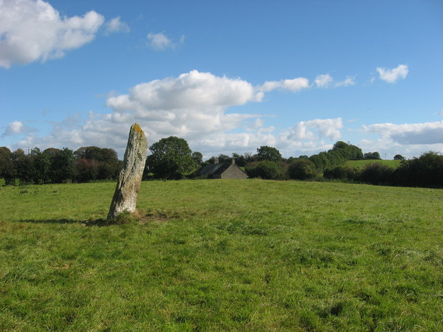 CloghafarmoreStanding stone · 383 yd
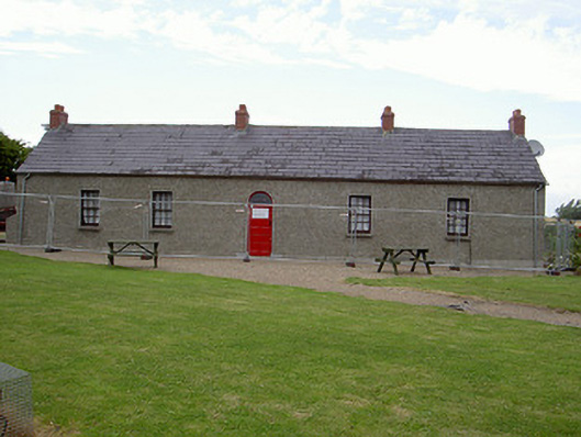 Agnes Burns Cottagehouse · 862 yd
 Church (in Ruins)Church · 1333 yd
 CastleCastle, tower house · 1587 yd
 BallybarrackMountain / peak · 1.6 mi
 Dunmahon CastleCastle, tower house · 1.9 mi
 Photo GalleryHeritage attraction · 2.9 mi
 Dundalk CentralHeritage attraction · 2.9 mi
 Maid of ErinMemorial · 3.3 mi
 Bombing 1975Memorial · 3.4 mi
 Soldiers' PointHeadland · 5.3 mi