What is recorded here
Situated on a slight rise with evidence of rock outcrop in gently undulating grassland. An L shaped depression visible in the interior of a ringfort (WM010-027---) probably represents a collapsed Man-made underground passage.
Compiled by: Frank Coyne and Caimin O'Brien
Date of upload: 9 June 2017
The monument record does not grant public access. Check the route and ask the landowner before entering private land.
- What survives
- Recorded monument
Places near here
 OutlinedFairy fort / earthen ringfort · 255 yd
 Site of CastleCastle, unclassified · 388 yd
 Partially hachuredFairy fort / earthen ringfort · 898 yd
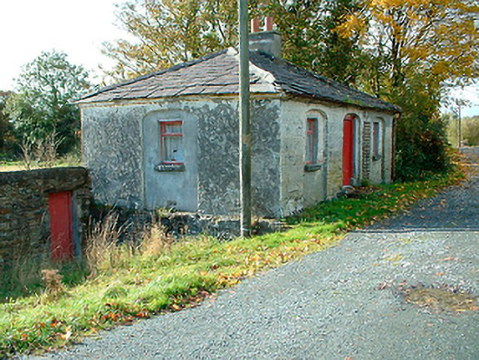 38th Locklock keeper's house · 1455 yd
 Kelly's Bridgebridge · 1472 yd
 CastleCastle, unclassified · 1.8 mi
 Ancient Ring FortWood · 3.1 mi
 Sessile OakSessile Oak · 3.1 mi
 Abbeyshrule AbbeyRuins · 3.2 mi
 Noughaval CemeteryArchaeological place · 8.6 mi
 National Famine WayWalking route · 9.6 mi
 37th Lock Keeper's CottageRuins · 1541 yd