What is recorded here
In pasture, on relatively level ground. To N ground falls away gently.
According to local information, a possible Man-made underground passage was exposed at roughly this location during ploughing/land reclamation works in the early 2000’s. The plough dislodged a flat roof slab, revealing a subterranean chamber (Wth c. 2m) with drystone side walls. A second roof stone remained in situ adjacent to the displaced slab. The interior space appeared small/confined and was partly obscured by collapsed soil. It was not explored or reported at the time, and was covered over again. There is no trace now at surface ground level.
Compiled by: Jane O'Shaughnessy
Date of upload: 26 January 2023
This remains an important historical record, but the official description says the monument is no longer visible or has been destroyed. The monument record does not grant public access. Check the route and ask the landowner before entering private land.
- What survives
- No visible remains or recorded as destroyed
Places near here
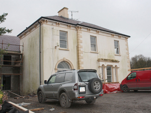 Burt Housecountry house · 1127 yd
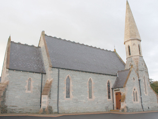 An Grianán Old Church Restaurantchurch/chapel · 1458 yd
 Greenan MountainMountain / peak · 1736 yd
 Grianán of AileachFairy fort / stone ringfort · 1737 yd
 Grianán of Aileach Outer HillfortHillfort · 1737 yd
 Baylet Fairy FortFairy fort / earthen ringfort · 1.8 mi
 Emmery Celtic CrossWood · 2.1 mi
 Old CastleCastle, tower house · 2.2 mi
 Burt CastleCastle, tower house · 2.2 mi
 King's GraveArchaeological place · 2.9 mi
 Mass RockNamed rock · 2.9 mi
 Cashel HillMountain / peak · 3.0 mi