What is recorded here
No visible surface trace marks the eastern slope of the low knoll in Miles, yet local tradition insists a man-made passage lies buried beneath the pasture. The hidden tunnel may have served as a shelter, a storage hole, or a forgotten route between settlements, but the earth has swallowed the entrance and erased the proof. What remains is a quiet challenge to belief: an ordinary field may conceal a chamber built by human hands, waiting for someone patient enough to listen for the absence of light.
In pasture on E slope of low knoll. Local tradition of Man-made underground passage. No visible surface trace. Enclosure (CO135-049001-) short distance to NW.
The above description is derived from the published 'Archaeological Inventory of County Cork. Volume 1: West Cork' (Dublin: Stationery Office, 1992). In certain instances the entries have been revised and updated in the light of recent research.
Date of upload/revision: 14 January 2009
The monument record does not grant public access. Check the route and ask the landowner before entering private land.
- What survives
- Recorded monument
Places near here
 Fulacht fia in Cloheen (carbery East (e.d.) By., Kilgarriff Par.)Fulacht fia · 343 yd
 Fulacht fia in MilesFulacht fia · 485 yd
 Clonakilty Blackpudding Visitor CentreHeritage attraction · 538 yd
 MillMill, unclassified · 550 yd
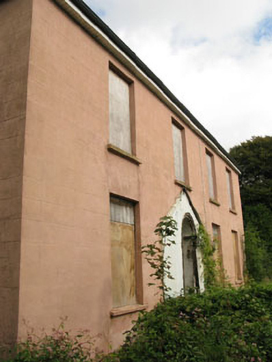 Beechgrovehouse · 709 yd
 Michael Collins House MuseumMuseum · 1510 yd
 Cloch na gCoillteMemorial · 1514 yd
 Clonakilty Tourist OfficeVisitor information · 1.1 mi
 Castle (Site of)Castle, unclassified · 1.2 mi
 Clonakilty HarbourBay · 1.6 mi
 Michael Collins MemorialMemorial · 2.7 mi
 Battle of the Big Cross (1798) Memorial MonumentMonument · 2.8 mi