What is recorded here
Excavation was undertaken (Licence no. C010) in advance of road-widening. The Man-made underground passage was located external to the ecclesiastical enclosure (DU008-010006-) and consisted of two rectangular chambers connected by a creepway (2.2m long). Chamber 1 (12m x 1.7m) was constructed of large blocks and boulders; a rotary quernstone had been reused as a roof lintel. Pottery dating to the 13th century was recovered from the backfill. The second chamber (2.2m x 1.7m) extended beyond the limit of excavation (O’Connell 2009, 55).
Compiled by: Christine Baker
Date of upload: 5 February 2015
The monument record does not grant public access. Check the route and ask the landowner before entering private land.
- What survives
- Recorded monument
Places near here
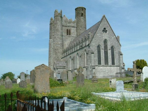 Burial in LuskBurial · 2 yd
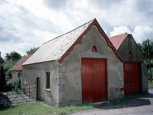 store/warehousestore/warehouse · 124 yd
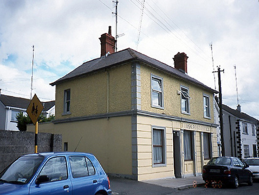 Lusk Post Officepost office · 171 yd
 Round towerRound tower · 175 yd
 Graveyard in LuskGraveyard · 198 yd
 Lusk Tidy TownsMemorial · 450 yd
 CastleCastle, unclassified · 1.2 mi
 The Birds of Rogerstown EstuaryVisitor information · 1.9 mi
 Picnic AreaPicnic place · 2.0 mi
 Turvey Allotments and Nature ReserveNature reserve · 2.2 mi
 Turvey HouseCastle, tower house · 2.2 mi
 Newbridge House and DemesneHeritage attraction · 2.8 mi