What is recorded here
That is the largest rectangular hollow known at the site, stretching twenty metres beside the ringfort scarp. Whether it was a hidden passage or a stone quarry remains unresolved, but its sharp edges and entrance-like gap suggest deliberate human shaping rather than natural decay. The missing structure may have been removed or buried, leaving behind a dark invitation to imagine what the builders concealed beneath the grass.
In SW quadrant of a ringfort (GA016-115----). What is visible is a large regular grassy rectangular flat-bottomed hollow (L 20m, Wth 10.3m), running NW-SE, situated immediately inside the scarp defining the monument. It is up to 1.45m in depth. At its NW end, an entrance-like gap opens through the face of the scarp. A considerable amount of stone is visible in the sides of the depression but no structural remains. Possibly a Man-made underground passage or a quarry pit.
The above description is derived from the published 'Archaeological Inventory of County Galway Vol. II - North Galway'. Compiled by Olive Alcock, Kathy de hÓra and Paul Gosling (Dublin: Stationery Office, 1999).
Date of upload: 05 August 2010
The monument record does not grant public access. Check the route and ask the landowner before entering private land.
- What survives
- Recorded monument
Places near here
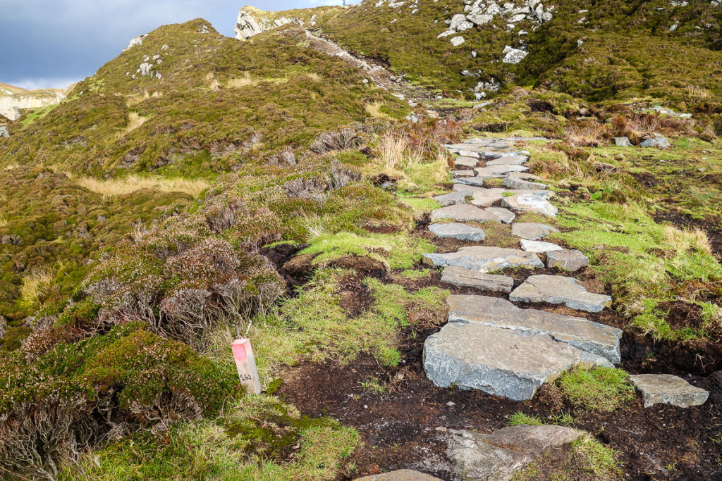 Mass-rock in LiskeevyMass-rock · 536 yd
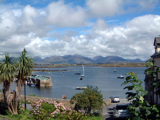 Quarry in BelmontQuarry · 1153 yd
 Enclosure in LissanannyEnclosure · 1352 yd
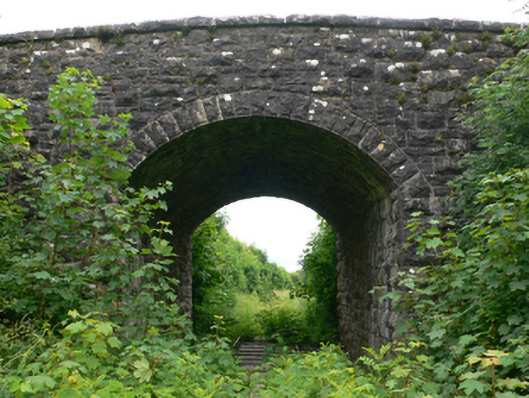 bridgebridge · 1507 yd
 CastleCastle, tower house · 1.8 mi
 Fartamore Castle (ruins)Castle · 1.9 mi
 European ashEuropean ash · 4.5 mi
 European YewEuropean Yew · 4.7 mi
 Mass RockNamed rock · 4.8 mi
 Ross Errilly FriaryHeritage attraction · 11 mi
 Inis Mhic an TrírIsland · 14 mi
 Otter IslandIslet · 14 mi