What is recorded here
Situated on a slight rise surrounded by gently undulating grassland. Man-made underground passage located in the centre of a ringfort (WM017-009---). The Man-made underground passage was exposed when an E-W roadway was cut through the interior of the monument. Visible as a stone built chamber on the S side of the road. A number of large slabs lying nearby are probably roof lintels. A large chamber (H 1m; L 1.5m) is visible on the N side of the road, curving to E before being blocked by collapse. Monument placed on the Register of Historic Monuments, Iris Oifigiúil, 11 November 1983.
Compiled by: Frank Coyne and Caimin O'Brien
Date of upload: 13 February 2018
The monument record does not grant public access. Check the route and ask the landowner before entering private land.
- What survives
- Recorded monument
Places near here
 Site of CastleCastle, unclassified · 858 yd
 OutlinedFairy fort / earthen ringfort · 1038 yd
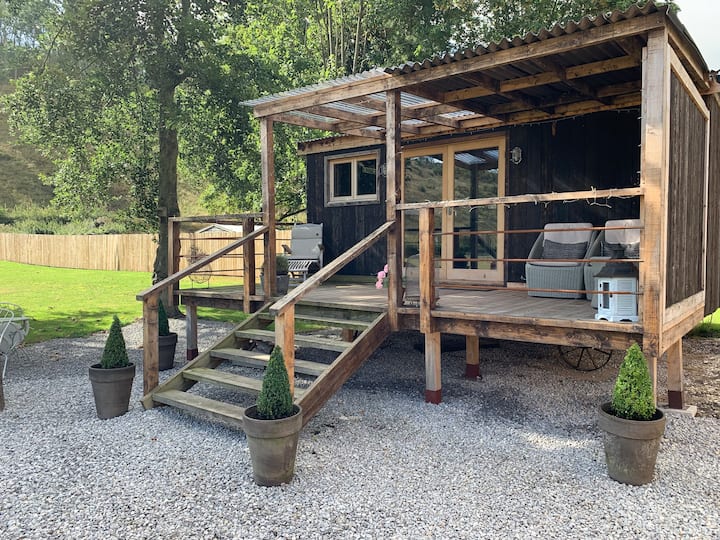 Hut site in BigfurzeHut site · 1221 yd
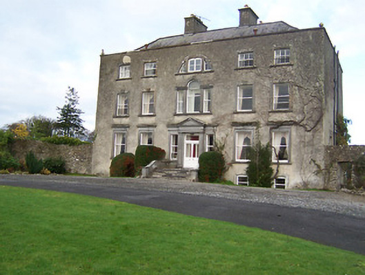 Mearscourt Housecountry house · 1352 yd
 Rathcastle Househouse · 1.1 mi
 CastleCastle, unclassified · 1.8 mi
 Ancient Ring FortWood · 2.4 mi
 Sessile OakSessile Oak · 3.2 mi
 Abbeyshrule AbbeyRuins · 3.7 mi
 Newcastle WoodsForest · 6.1 mi
 Noughaval CemeteryArchaeological place · 8.7 mi
 National Famine WayWalking route · 10 mi