What is recorded here
Lismeen rath in County Cavan holds a collapsed man-made underground passage, visible today as a rectangular trench eleven metres long and nearly three metres wide cutting into the earth from an east-north-east gap in the bank. The dimensions are precise enough to suggest deliberate construction rather than casual digging, yet the passage has fallen away, leaving only a shadowed slot where a roof or wall once stood. Whoever built it may have entered the rath below the ground, hiding movement from watchers above or keeping rain and danger at bay. The trench still points inward like an invitation, preserving the shape of a doorway that time has swallowed.
Situated within Lismeen rath (CV032-037001-). A well-defined rectangular trench (L 11.6m; Wth 2.9m; D 0.75m) projecting into the interior from a break in the bank at ENE (Wth 2.7m), may represent a collapsed Man-made underground passage.
The above description is derived from the published 'Archaeological Inventory of County Cavan' (Dublin: Stationery Office, 1995). In certain instances the entries have been revised and updated in the light of recent research.
Date of upload/revision: 22 December 2008
The monument record does not grant public access. Check the route and ask the landowner before entering private land.
- What survives
- Recorded monument
Places near here
 Pottle ForestForest · 1467 yd
 Saint Dympna's CrossWayside cross · 1.4 mi
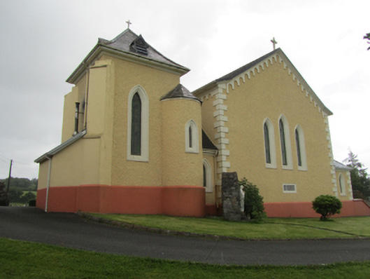 St Dymphna's Roman Catholic Churchchurch/chapel · 1.4 mi
 Raven's RockNamed rock · 1.7 mi
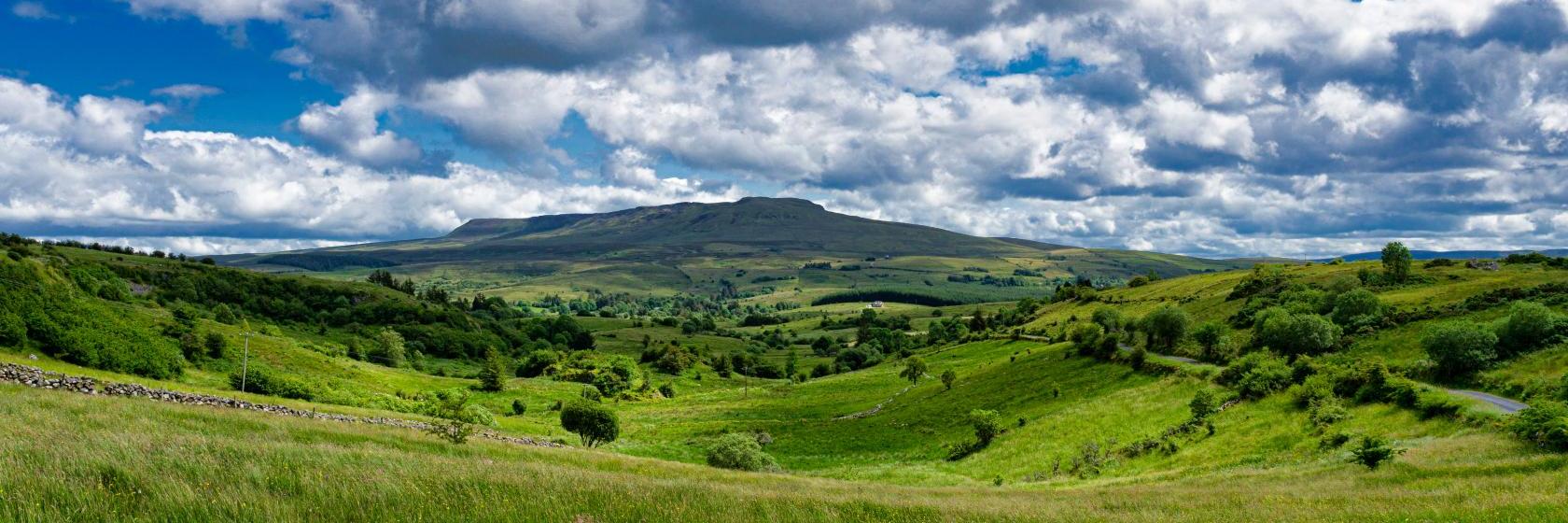 Coragh ForestWood · 1.9 mi
 Ritual siteRitual site, holy/saint's stone · 2.0 mi
 CarrickatoberMountain / peak · 2.0 mi
 St. Patricks WellHoly well · 2.0 mi
 AghadreenaghMountain / peak · 2.2 mi
 Site of the Fever HospitalMemorial · 2.6 mi
 The GPO ExhibitionMuseum · 2.6 mi
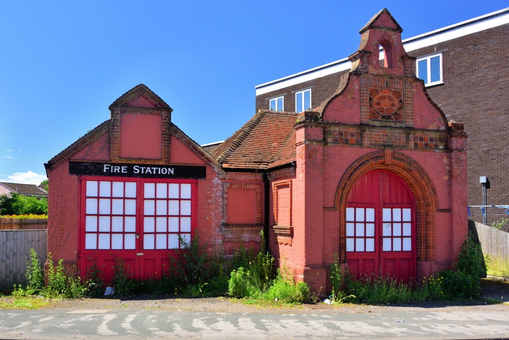 The Old Fire HouseMemorial · 2.7 mi