What is recorded here
Liscune Lower holds an L-shaped hollow inside a ringfort, its long arm stretching seven metres east-west and its short arm six metres north-south. The passage dips a metre below the ground, narrow enough that breath sounds like a living voice. It may have hidden people, stored grain or marked a boundary forgotten by time. Whatever it served, the earth still keeps the shape of hands that cut it.
Within SW quadrant of ringfort (GA073-108----). An L-shaped hollow, long axis (L 7m) running E-W; short axis (L 6m) running N-S and up to 1m in depth.
The above description is derived from the published 'Archaeological Inventory of County Galway Vol. II - North Galway'. Compiled by Olive Alcock, Kathy de hÓra and Paul Gosling (Dublin: Stationery Office, 1999).
Date of upload: 05 August 2010
The monument record does not grant public access. Check the route and ask the landowner before entering private land.
- What survives
- Recorded monument
Places near here
 Enclosure in Liscune UpperEnclosure · 1540 yd
 Trench's Monumentmausoleum · 1.1 mi
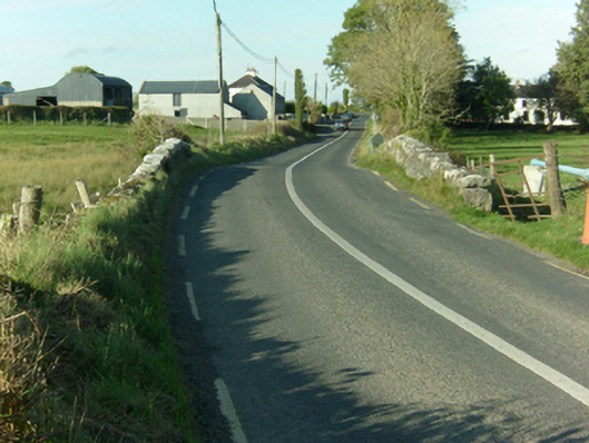 Ballymacward Bridgebridge · 1.1 mi
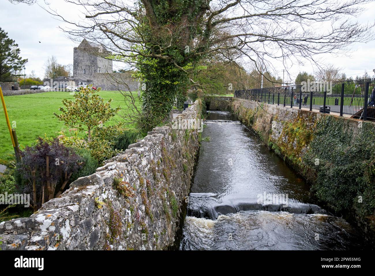 Enclosure in MoneyveenEnclosure · 1.1 mi
 Castle (in Ruins)Castle, unclassified · 1.8 mi
 Western RedcedarWestern Redcedar · 2.4 mi
 European Crab AppleEuropean Crab Apple · 2.4 mi
 Site of Doon CastleCastle, unclassified · 2.7 mi
 Kilconnell AbbeyHeritage attraction · 3.4 mi
 Menlough IRAMemorial · 6.0 mi
 Battle of Aughrim Interpretative CentreMuseum · 7.3 mi
 Battle of AughrimMajor battlefield · 7.9 mi