What is recorded here
Leataoibh Mór holds a flooded circular hollow at its western foot, perhaps the throat of a man-made passage rather than a ordinary water gatherer. That is a dangerous invitation for curiosity because depth and darkness remove every guarantee of return. The nearby stony ridge may mark a boundary, a dump or a forgotten road, but uncertainty should not stop you seeing the place as alive.
Lisgortcam/Lios Gort Cam: Univallate rath KE042-115---- is situated at the foot of the W slopes of Lateevemore.
A circular hollow, 1m in diameter and flooded to a depth of at least .5m, may possibly mark the entrance to a Man-made underground passage KE042-115001-. An irregularly-shaped stony ridge or bank, up to .5m high, occupies the W sector but its origin is not known.
The above description is derived from J. Cuppage, ‘Corca Dhuibhne. Dingle Peninsula archaeological survey. Ballyferriter. Oidhreacht Chorca Dhuibhne’ (1986), no. 494. In certain instances the entries have been revised and updated in the light of recent research.
Date of upload: 7 August 2013
The monument record does not grant public access. Check the route and ask the landowner before entering private land.
- What survives
- Recorded monument
Places near here
 Leacht in Leataoibh MórLeacht · 358 yd
 ToberantappulHoly well · 381 yd
 Binn BreacMountain / peak · 890 yd
 Gallarus OratoryHeritage attraction · 927 yd
 Gallarus CastleCastle · 1430 yd
 Gallarus Castle (in ruins)Castle, tower house · 1433 yd
 Templemanaghan (Oratory)Church · 1.0 mi
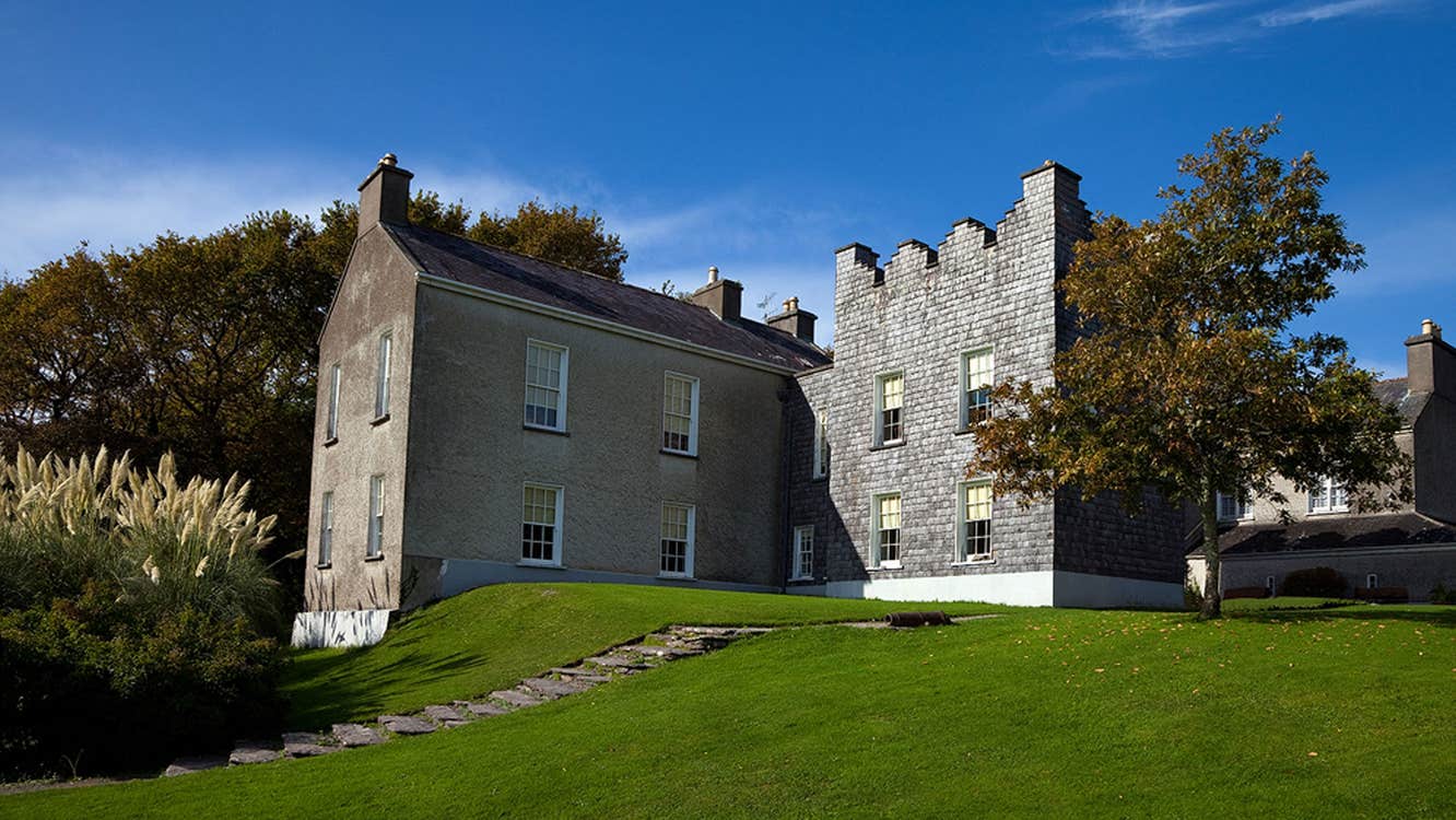 Chancellors House (in ruins)Building · 1.2 mi
 An Chathair AirdMountain / peak · 1.7 mi
 Riasc Monastic SettlementHeritage attraction · 1.7 mi
 Trá an FhíonaBeach / strand · 1.9 mi
 Cuan Ard na CaithneBay · 2.6 mi