What is recorded here
The following description is derived from both the published 'Archaeological Inventory of County Louth' (Dublin: Stationery Office, 1986) and the 'Archaeological Survey of County Louth' (Dublin: Stationery Office, 1991). In certain instances the entries have been revised and updated in the light of recent research.
Date of upload/revision: 17 July 2007
Lintel of Man-made underground passage displaced during ploughing. Possibly a continuation of LH006-023----, in the adjacent part of townland of Carrickalust. Now inaccessible. (CLAJ 1931, 385)
The monument record does not grant public access. Check the route and ask the landowner before entering private land.
- What survives
- Recorded monument
Places near here
 Hut site in CarrickrobinHut site · 967 yd
 Church in KillaconnerChurch · 1266 yd
 Man-made underground passage in CunnicarMan-made underground passage · 1304 yd
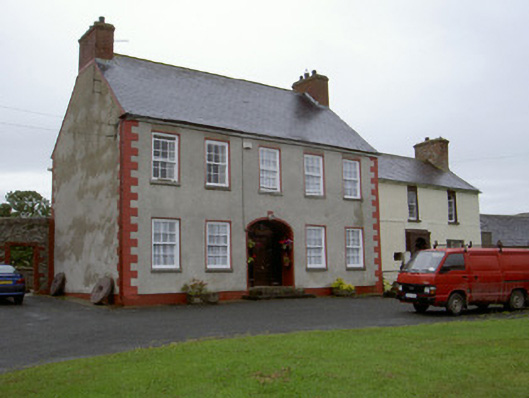 Clonaleenaghan Househouse · 1753 yd
 CastleCastle, unclassified · 1.1 mi
 Mount AshCastle, motte · 2.1 mi
 Sky HillMountain / peak · 3.6 mi
 Ballsmill Amenity LandPicnic place · 3.7 mi
:no_upscale()/cdn.vox-cdn.com/uploads/chorus_asset/file/25593391/County_Louth_6th.jpg) LouthMountain / peak · 4.6 mi
LouthMountain / peak · 4.6 mi Dundalk CentralHeritage attraction · 4.8 mi
 Photo GalleryHeritage attraction · 4.8 mi
 Forkhill Greenspace PathwayWalking route · 5.5 mi