What is recorded here
Knockbride rath in County Cavan, Ireland contains a man-made underground passage marked by a rectangular opening and partial dry stone walling at its east end. The structure likely served as a hidden entrance or storage space within the ancient earthwork, reflecting practical human ingenuity in a remote landscape. Its modest remains invite imagination about the people who shaped the passage and used it for daily life or ritual purposes.
Situated within the interior of Knockbride rath (CV028-029001-). Likely remains of a Man-made underground passage comprise a depression with a rectangular opening, partially lined with dry stone walling at its E end.
The above description is derived from the published 'Archaeological Inventory of County Cavan' (Dublin: Stationery Office, 1995). In certain instances the entries have been revised and updated in the light of recent research.
Date of upload/revision: 22 December 2008
The monument record does not grant public access. Check the route and ask the landowner before entering private land.
- What survives
- Recorded monument
Places near here
 Cappog Bog WoodlandWood · 474 yd
 DrumeagueMountain / peak · 624 yd
 St Brigid's Roman Catholic Churchchurch/chapel · 1287 yd
 White Lough WoodWood · 1459 yd
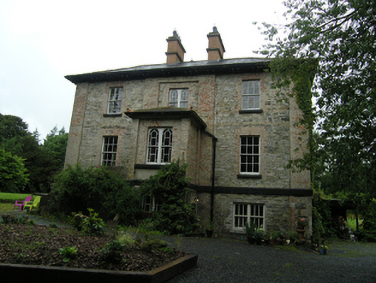 rectory/glebe/vicarage/curate's houserectory/glebe/vicarage/curate's house · 1596 yd
 Grave YardGraveyard · 1755 yd
 Enclosure in KillalissEnclosure · 1.2 mi
 Bawn in Skeagh (clankee By.)Bawn · 1.3 mi
 CorravillaMountain / peak · 1.3 mi
 Small IslandIsland · 2.3 mi
 Welcome to Bailieborough DemesneVisitor information · 2.7 mi
 Rebel HillMemorial · 2.9 mi