What is recorded here
On a rise within a field system (GA104-148001-) and c. 40m to the W of 'Killogilleen Church' (GA104-148004-). This drystone-built Man-made underground passage (L 2.7m; Wth 1.5m; H 0.7m) runs N-S. Access is gained at its S end. A drystone-lined hollow (L 3m) with one displaced roof lintel indicates that it extended further to the S. (McCaffrey 1952, 231, no. 78)
Compiled by: Galway Archaeological Survey, UCG
Date of upload: 9 October 2019
The monument record does not grant public access. Check the route and ask the landowner before entering private land.
- What survives
- Recorded monument
Places near here
 Killogilleen Church (in ruins)Church · 54 yd
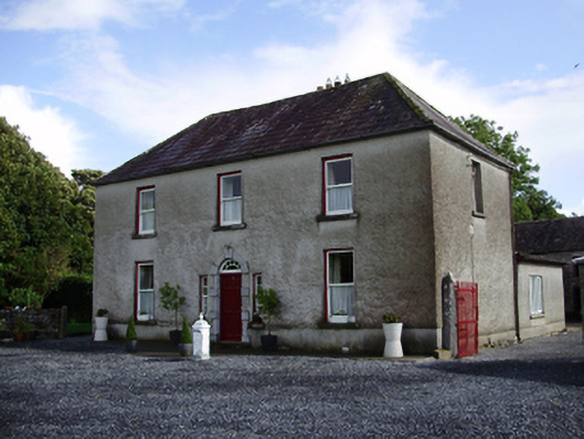 Carheen Househouse · 233 yd
 Field system in CarheenField system · 301 yd
 Cregg Castle (in ruins)Castle, tower house · 731 yd
 Structure in BallynascraghStructure · 812 yd
 CarnanthomasCastle, unclassified · 1.2 mi
 Blake's IslandIslet · 4.8 mi
 Moyard WoodWood · 4.9 mi
 Ash IslandIslet · 5.0 mi
 Scalpeen RockNamed rock · 5.9 mi
 Kilcornan ForestWood · 6.9 mi
 Drumacoo Monastic SiteHeritage attraction · 8.3 mi