What is recorded here
Under a Kilclare Lower flower bed, flat lintel stones and a rusted metal sheet mark a narrow east-west chamber that may have served the old smithy. The builder dug through living soil, fitted rough walls, and waited for someone strong enough to lift the roof and carry out what the chamber contained.
In the back garden of a private dwelling, a subterranean structure, possibly a Man-made underground passage, was discovered under a flower bed by the owner. The structure is not accessible and only visible through a roughly circular opening (0.70m EW; 0.80m NS) obstructed by a metal sheet strongly embedded within the top soil to the NW and SE of the opening. Other debris were found when the monument was first discovered, suggesting that those and the metal sheet were used to cover up the underground chamber, perhaps when it was first discovered in the past. The current house used to be part of a blacksmith's forge marked ‘Smithy’ on the 25-inch OS map, and while it is not indicated to be a forge on the 1st edition 6-inch map, a longer E-W building is represented, which may have stood over the Man-made underground passage.
A number of flat stones embedded around the opening c. 0.27m down from the current ground level may represent the lintel stones (T c. 0.07m) that would have roofed the Man-made underground passage. Despite the obstruction created by the metal sheet, it was possible to take some photographs of walled surfaces which may represent the S and W walls of a subterranean chamber. The chamber appears to be oriented E-W (L c. 1.10m, Wth c. 0.95; D c. 0.55m). Based on the photographs that could be taken, there appeared to be roughly four to five courses of stones on the S and W sides of the chamber. There is no recorded ringfort or early monument recorded in the direct vicinity of the Man-made underground passage, but the remains of the medieval parish church of Knockmourne and its associated graveyard are located c. 75m to the south (CO045-031002- and CO045-031001-).
Compiled by: Anne-Julie Lafaye
Date of upload: 24 November 2025
The monument record does not grant public access. Check the route and ask the landowner before entering private land.
- What survives
- Recorded monument
Places near here
 Grave YdGraveyard · 101 yd
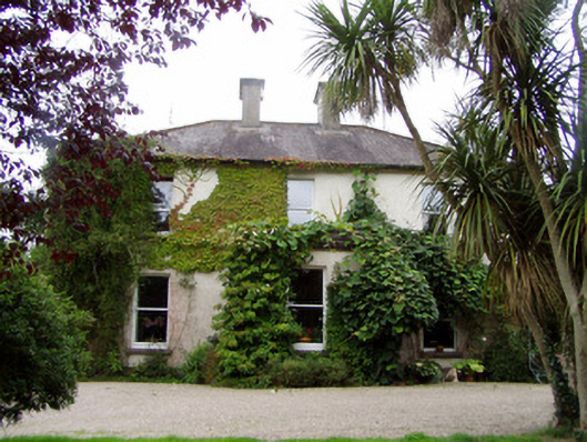 Conna Househouse · 680 yd
 Quarry in CarrigmoreQuarry · 883 yd
 Field system in CooladurraghField system · 1284 yd
 Conna Castle (in Ruins)Castle, tower house · 1567 yd
 Conna CastleCastle · 1567 yd
 Castlebrook forestWood · 1.2 mi
 Aghern CemeteryWood · 1.2 mi
 Graveyard in Curraheen (kinnatalloon By.)Graveyard · 1.7 mi
 Natural heritage of CoolagowanVisitor information · 3.4 mi
 Life Space ParkPicnic place · 3.5 mi
 Graveyard in KillasseraghGraveyard · 4.1 mi