What is recorded here
Kevit Lower held a man-made underground passage now lost from sight, according to Davies during the 1942 ITA Survey. The rath still stands in County Cavan, but the passage has vanished from ground level, leaving behind a hole in the story rather than a hole in the land. Perhaps it collapsed, was buried, or stopped being useful. In that case the earth did not break the place; it completed the mystery.
Davies (ITA Survey 1942) recorded the former presence of a Man-made underground passage within Kevit Lower rath (CV025-062001-). Not visible at ground level.
The above description is derived from the published 'Archaeological Inventory of County Cavan' (Dublin: Stationery Office, 1995). In certain instances the entries have been revised and updated in the light of recent research.
Date of upload/revision: 22 December 2008
The monument record does not grant public access. Check the route and ask the landowner before entering private land.
- What survives
- Recorded monument
Places near here
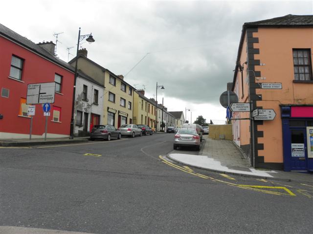 IndicatedFairy fort / earthen ringfort · 522 yd
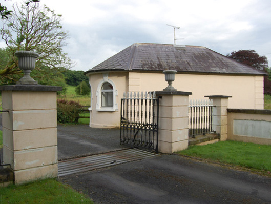 gate lodgegate lodge · 598 yd
 BellvilleMountain / peak · 779 yd
 Castle CosbyCastle, unclassified · 795 yd
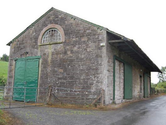 goods shedgoods shed · 1017 yd
 Fleming's FollyForest · 1125 yd
 Coolnacarrick ForestForest · 1613 yd
 Captain Thomas Sheridan IRAMonument · 1643 yd
 Lismore CastleCastle, unclassified · 1.0 mi
 DrumcarbanMountain / peak · 1.6 mi
 Carricknagore RockNamed rock · 3.0 mi
 Cornafean GFCMemorial · 3.2 mi