What is recorded here
No visible mound or stone remains, only a faint shadow in the soil beneath the grass. The trench stretches twenty-three metres east-west before bending north at its widest point, suggesting a deliberate entrance rather than a random crack. It lies inside the defensive ditch of an ancient rath, hidden from ordinary sight but captured by a modern satellite survey. Perhaps people once walked beneath the town, using the passage to move unseen through land they believed belonged to others.
Situated on a level landscape. The cropmark of a trench (L c. 23m ENE-WSW) lies inside the fosse of rath (ME028-057----) at S and enters it at SSW. Its greatest width (c. 2m) is at the E end where the trench turns N and it could be a Man-made underground passage. It is only visible on Apple Maps which utilises a survey conducted by Bluesky International during June 2018.
See the attached enhanced view from Apple Maps
Compiled by: Michael Moore
Date of upload: 7 February 2020
The monument record does not grant public access. Check the route and ask the landowner before entering private land.
- What survives
- Recorded monument
Places near here
 St. Peter's Chapel MoymurthyArchaeological place · 502 yd
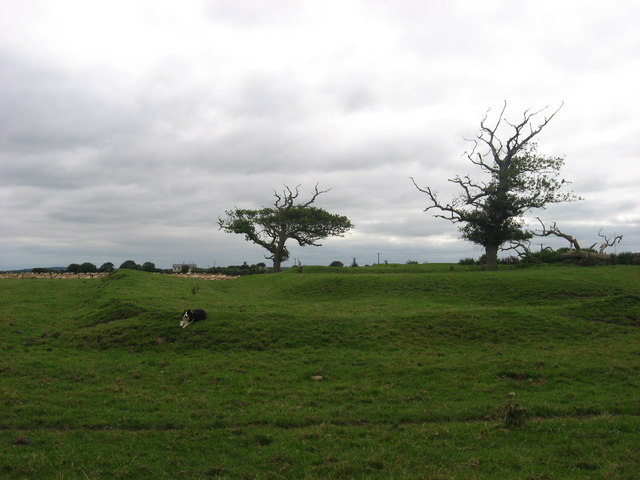 ChapelChurch · 503 yd
 Ben HeadCliff · 545 yd
 Holy well in Irishtown (duleek Upper By., Moorechurch Par.)Holy well · 692 yd
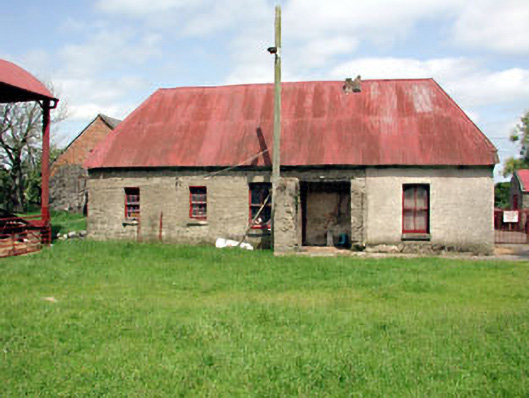 farm housefarm house · 1750 yd
 SycamoreSycamore · 1.3 mi
 European YewEuropean Yew · 1.4 mi
 Gormanston CastleCastle · 1.4 mi
 Ballygarth CastleCastle · 2.0 mi
 Battle of Julianstownbattle · 2.3 mi
 Clonard SpringSpring · 3.4 mi
 Balbriggan Tourist OfficeVisitor information · 3.7 mi