What is recorded here
The centre of the enclosure is occupied by a roughly circular, straight-sided depression, 2.4m in diameter and 1.1m deep, which may indicate a Man-made underground passage (KE106-132001-).
The above description is derived from A. O'Sullivan and J. Sheehan (compilers), 'The Iveragh peninsula: an archaeological survey of South Kerry'. Cork University Press (1996), no. 752. In certain instances the entries have been revised and updated in the light of recent research.
Date of upload: 29 July 2013
The monument record does not grant public access. Check the route and ask the landowner before entering private land.
- What survives
- Recorded monument
Places near here
 Enclosure in Gort Na CilleEnclosure · 1 yd
 Man-made underground passage in Gort Na CilleMan-made underground passage · 188 yd
 Trá An Ráth / Rath BeachBeach / strand · 548 yd
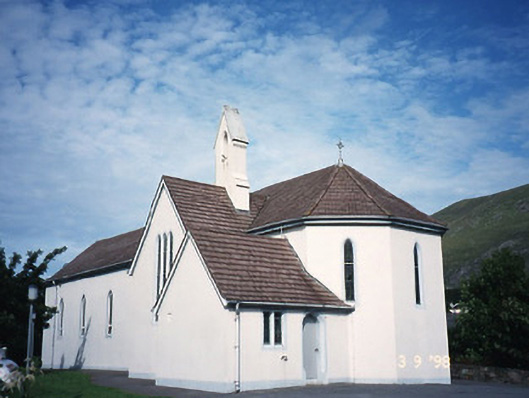 Saint Crohan's Catholic Churchchurch/chapel · 1219 yd
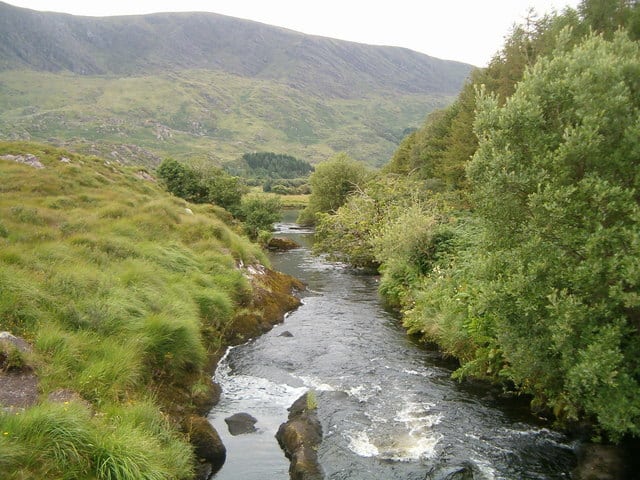 Eagle HillMountain / peak · 1364 yd
 MineMine, copper · 1417 yd
 Trá an Ghleanna Bhig / Glanbeg BeachBeach / strand · 1527 yd
 Ogham StoneVisitor information · 1710 yd
 Derrynane House / Teach Dhoire FhionáinHeritage attraction · 1.3 mi
 Páirc Náisiúnta Stairiúil Dhoire Fhíonáin / Derrynane National Historic ParkNature reserve · 1.4 mi
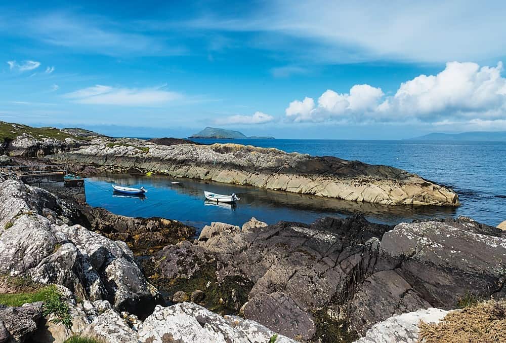 Lamb's Head HillMountain / peak · 1.8 mi
 Abbey IslandIslet · 2.0 mi