
What is recorded here
This poorly preserved subcircular enclosure, not marked on the OS maps, abuts an E-W field wall and is located in rough pasture overlooking Kenmare Bay to S. The enclosing element is of earth and gravel composition, and features some large basal boulders. It is 2.5m wide at base and .6m high externally. The overall dimensions of the site are 7.6m N-S x 8.2m E-W. The centre of the enclosure is occupied by a roughly circular, straight-sided depression, 2.4m in diameter and 1.1m deep, which may indicate a Man-made underground passage (KE106-132001-).
The above description is derived from A. O'Sullivan and J. Sheehan (compilers), 'The Iveragh peninsula: an archaeological survey of South Kerry'. Cork University Press (1996), no. 752. In certain instances the entries have been revised and updated in the light of recent research.
Date of upload: 29 July 2013
The monument record does not grant public access. Check the route and ask the landowner before entering private land.
- What survives
- Recorded monument
Places near here
 Man-made underground passage in Gort Na CilleMan-made underground passage · 188 yd
 Cave (1846).Man-made underground passage · 261 yd
 Trá An Ráth / Rath BeachBeach / strand · 548 yd
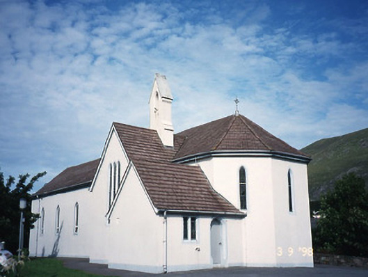 Saint Crohan's Catholic Churchchurch/chapel · 1219 yd
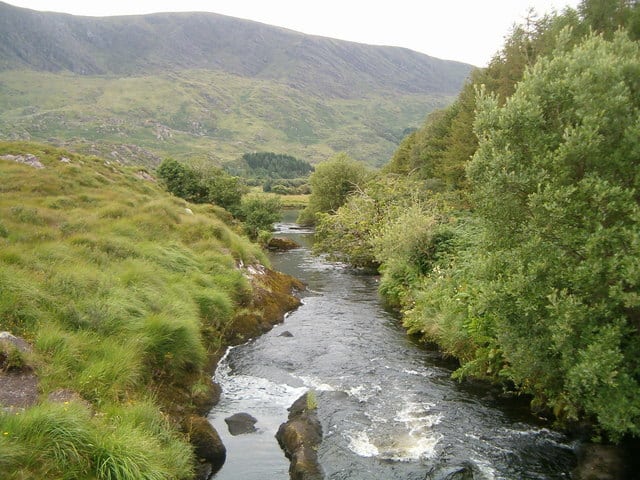 Eagle HillMountain / peak · 1364 yd
 MineMine, copper · 1417 yd
 Trá an Ghleanna Bhig / Glanbeg BeachBeach / strand · 1527 yd
 Ogham StoneVisitor information · 1710 yd
 Derrynane House / Teach Dhoire FhionáinHeritage attraction · 1.3 mi
 Páirc Náisiúnta Stairiúil Dhoire Fhíonáin / Derrynane National Historic ParkNature reserve · 1.4 mi
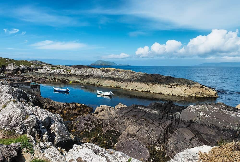 Lamb's Head HillMountain / peak · 1.8 mi
 Abbey IslandIslet · 2.0 mi
Other information
Photo: Credit not shown in the picture search · Rights wording not checked; contact us if this picture should be removed