What is recorded here
Garrynagore holds a circular ringfort where a slight depression in the north sector suggests an entrance to an underground passage. The clear earth and stone bank still encloses the space, preserving the shape of the hidden route. People may have built the passage to escape danger, store treasure or reach another place without being seen. The depression still invites that possibility because the ground itself records the choice of the builders.
Circular univallate ringfort KE021-034---- is enclosed by a well defined bank of earth and stone.
In the N sector of the interior is a slight depression, which would appear to be an entrance/exit to a possible Man-made underground passage (KE021-034001-).
The above description is derived from C. Toal, ‘North Kerry Archaeological Survey’. Dingle. Brandon in association with FAS Training and Employment Authority (1995), no. 749. In certain instances the entries have been revised and updated in the light of recent research.
Date of upload: 2 August 2013
The monument record does not grant public access. Check the route and ask the landowner before entering private land.
- What survives
- Recorded monument
Places near here
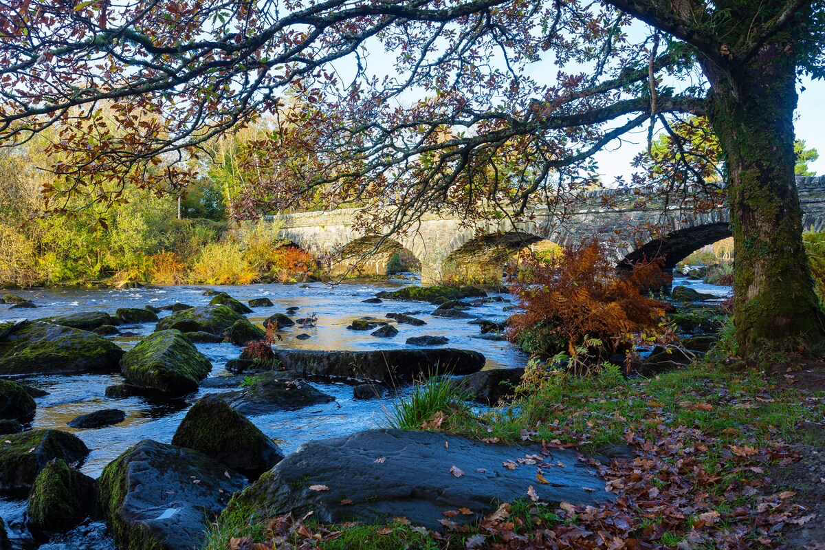 Fulacht fia in AghacooraFulacht fia · 1270 yd
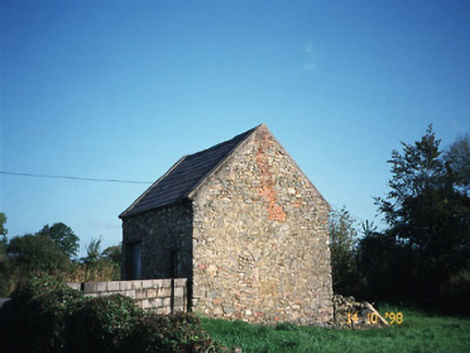 Crotta Housegate lodge · 1428 yd
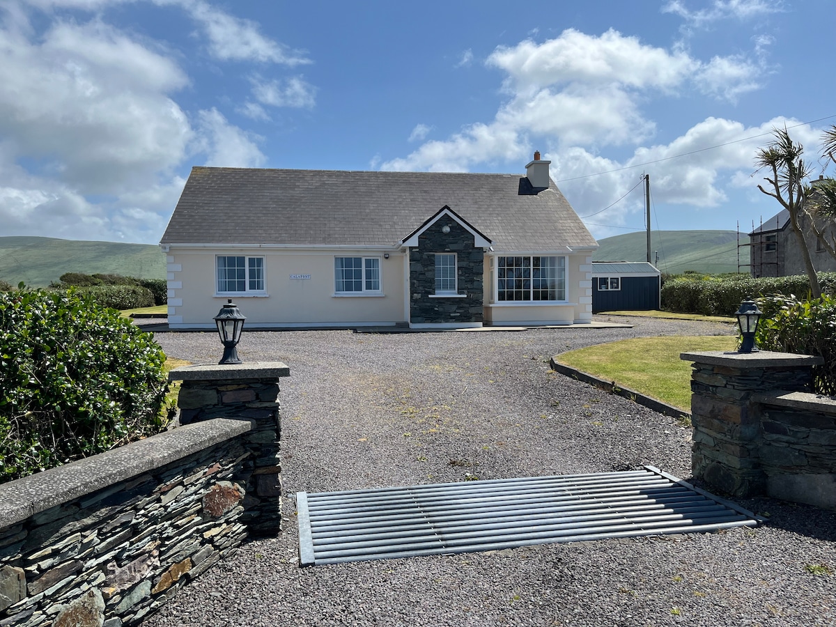 Enclosure in AghacooraEnclosure · 1450 yd
 Saint Mary's Catholic Churchchurch/chapel · 1.3 mi
 Kilflynn Nature ReserveNature reserve · 1.4 mi
 CastleCastle, Anglo-Norman masonry castle · 2.4 mi
 Ballymacaquinn Castle (remains of)Castle · 3.5 mi
 CruslineMountain / peak · 4.0 mi
 Stack's MountainMountain / peak · 4.1 mi
 Tobar na MoltSpring · 5.1 mi
 Ardfert Franciscan FriaryVisitor information · 6.3 mi
 Ardfert FriaryVisitor information · 6.3 mi