What is recorded here
No visible surface trace remains in Fourcuil, yet local memory claims a paved underground passage hid beneath the soil. That memory surfaced only when destruction touched the ringfort in 1987, suggesting human hands shaped the darkness long before modern tools arrived. The passage may have served as a refuge, a boundary marker, or a forgotten route through West Cork. It vanished again without warning, leaving behind a gap in the landscape that resists easy explanation.
According to local information, a "paved" Man-made underground passage was seen during destruction of ringfort (CO122-071001-) in 1987. No visible surface trace.
The above description is derived from the published 'Archaeological Inventory of County Cork. Volume 1: West Cork' (Dublin: Stationery Office, 1992). In certain instances the entries have been revised and updated in the light of recent research.
Date of upload/revision: 14 January 2009
The monument record does not grant public access. Check the route and ask the landowner before entering private land.
- What survives
- Recorded monument
Places near here
 Garraneishal FortArchaeological place · 1263 yd
 Enclosure in Reenroe (carbery East (e.d) By.)Enclosure · 1377 yd
 Water millWater mill, horizontal-wheeled · 1633 yd
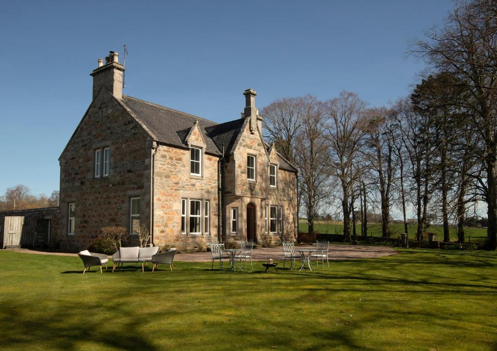 Country house in Letter (carbery East (w.d) By.)Country house · 1652 yd
 Battle of the Big Cross (1798) Memorial MonumentMonument · 1.5 mi
 Castle (Site of)Castle, unclassified · 2.0 mi
 Clonakilty Tourist OfficeVisitor information · 2.7 mi
 Cloch na gCoillteMemorial · 2.8 mi
 Michael Collins House MuseumMuseum · 2.8 mi
 Clonakilty Blackpudding Visitor CentreHeritage attraction · 2.8 mi
 Clasharusheen Mansion (Site of)Castle, unclassified · 3.0 mi
 Corran HillMountain / peak · 3.5 mi