What is recorded here
Faughart Lower holds a man-made underground passage tied to a nearby enclosure, suggesting people dug through solid earth rather than waiting for nature to provide a hole. The deliberate construction turns the region into a place where human ambition met resistance and broke through. Darkness may have hidden the work, but intent shaped the result.
The following description is derived from both the published 'Archaeological Inventory of County Louth' (Dublin: Stationery Office, 1986) and the 'Archaeological Survey of County Louth' (Dublin: Stationery Office, 1991). In certain instances the entries have been revised and updated in the light of recent research.
Date of upload/revision: 17 July 2007
Local tradition of a 'cave' associated with enclosure site (LH004-063001-).
The monument record does not grant public access. Check the route and ask the landowner before entering private land.
- What survives
- Recorded monument
Places near here
 Enclosure in Faughart LowerEnclosure · 1 yd
 Battle of FaughartMajor battlefield · 516 yd
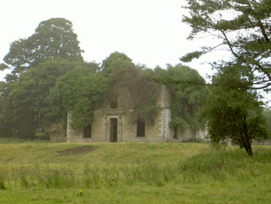 Woodlawnhouse · 628 yd
 Enclosure in Faughart UpperEnclosure · 762 yd
 Church (in ruins)Church · 920 yd
 Faughart MoundCastle, motte · 932 yd
 Raskeagh FortCastle, motte and bailey · 1.0 mi
 MonascreebeMountain / peak · 1.2 mi
 SlievenaboleaMountain / peak · 1.6 mi
 Moyry CastleCastle · 1.7 mi
 Proleek DolmenArchaeological place · 1.8 mi
 KILNASAGGART INSCRIBED PILLAR STONE & CEMETERY with 6 CROSS-CARVED STONES: CELL NA SACART in EdenappaKILNASAGGART INSCRIBED PILLAR STONE & CEMETERY with 6 CROSS-CARVED STONES: CELL NA SACART · 1.9 mi