
What is recorded here
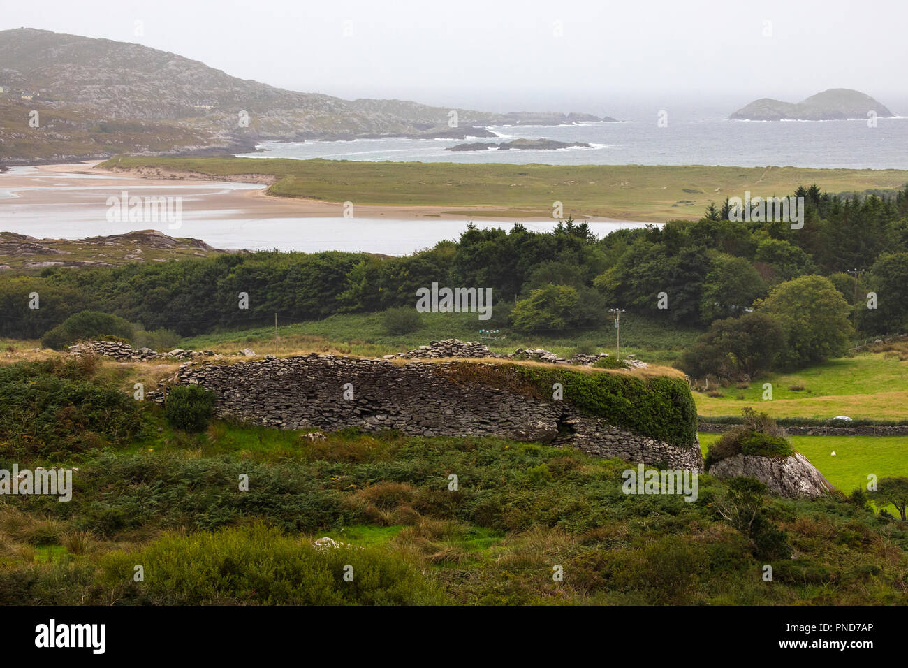
In the centre of a rath (KE066-043----). According to local information, a stone (L 3m; Wth 1.7m; H 1.2m) which covered an underground passage was removed during field clearance in the 1970s and is now at the roadside to the E.
Compiled by: Elizabeth Byrne, Ursula Egan and Sheila Ronan, Archaeological Survey Unit, University College, Cork.
Date of upload: 31 January 2011
The monument record does not grant public access. Check the route and ask the landowner before entering private land.
- What survives
- Recorded monument
Places near here
 Burnt spread in Caher (magunihy By.)Burnt spread · 400 yd
 Man-made underground passage in Caher (magunihy By.)Man-made underground passage · 472 yd
 RoadRoad, road/trackway · 931 yd
 Ballydowney BridgeBridge · 1267 yd
 Aghadoe Early Medieval Ecclesiastical SiteHeritage attraction · 1444 yd
 Parkavonear CastleCastle · 1466 yd
 Famine MemorialMemorial · 1.0 mi
 Circular WalkWalking route · 1.0 mi
 GinkgoGinkgo · 1.2 mi
 Giant SequoiaGiant Sequoia · 1.3 mi
 Cairn of PeaceMemorial · 1.3 mi
 River WalkWalking route · 1.6 mi
Other information
Photo: Credit not shown in the picture search · Rights wording not checked; contact us if this picture should be removed