What is recorded here
Sand miners broke through to four stone chambers in 1949, revealing corbelled walls and clay floors built for deliberate descent. M.J O'Kelly and E.M Fahy measured the narrow creepways before the Lee Valley Hydroelectric Scheme swallowed the site. The chambers may have served meditation, storage or ritual, but water erased the answer within three years.
Discovered in 1949 in sand pit; investigated by M.J O'Kelly and E.M Fahy. At least four rectangular stone-built chambers; walls corbelled; floors of hard tempered clay. Chamber 1: (L 3.04m; Wth 1.36m; H 1.51m; long axis N-S). Chamber 2: (L 2.43m; Wth 1.21m; H 1.51m; long axis E-W); reached by creepway in SW corner of chamber 1. Chamber 3: (L 3.04m; Wth 1.36m; H 1.51m; long axis N-S); NE corner reached by creepway at NW corner of chamber 2; roof collapsed; creepway at S end to chamber 4 (L 3.04m; Wth 1.36m; H 1.51m; long axis N-S). Collapsed creepway at S end of chamber 4 possibly led to further chambers. Site completely destroyed when revisited in 1952; area now submerged by Lee Valley Hydroelectric Scheme. (McCarthy 1977, 238-9)
The above description is derived from the published 'Archaeological Inventory of County Cork. Volume 3: Mid Cork' (Dublin: Stationery Office, 1997). In certain instances the entries have been revised and updated in the light of recent research.
Date of upload/revision: 14 January 2009
The monument record does not grant public access. Check the route and ask the landowner before entering private land.
- What survives
- Recorded monument
Places near here
 Buingea BrBridge · 863 yd
 Athsollis Bridgebridge · 932 yd
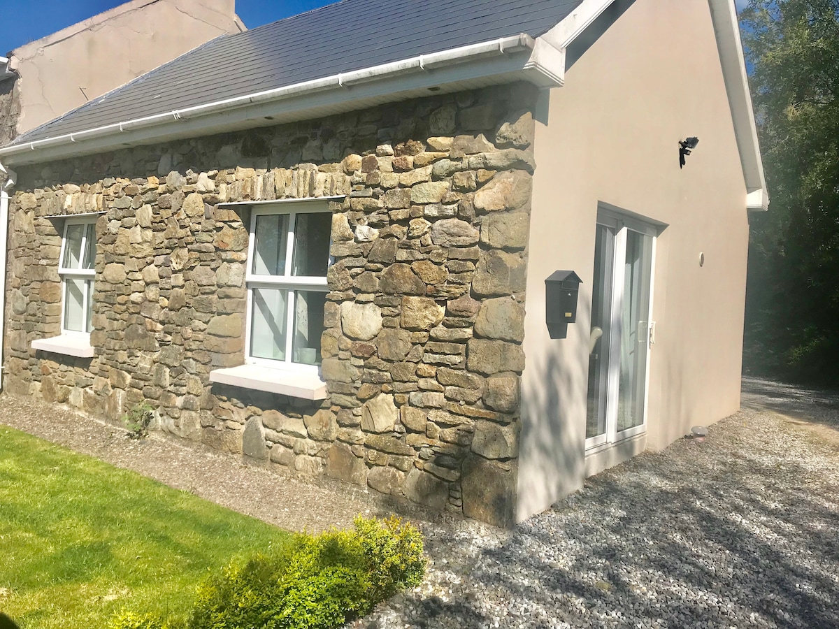 Fulacht fia in CrossmahonFulacht fia · 1258 yd
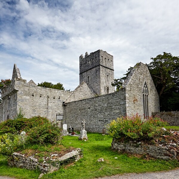 Fulacht FianFulacht fia · 1268 yd
 Stephen's WoodForest · 1381 yd
 Andrew's WoodWood · 1570 yd
 Castle (Site of)Castle, unclassified · 1.4 mi
 Priest MemorialMemorial · 1.4 mi
 Mashanaglass Castle (in Ruins)Castle, tower house · 1.6 mi
 Kilmurry WoodsPicnic place · 1.6 mi
 Independence MuseumMuseum · 1.7 mi
 Battle of Macroombattle · 3.7 mi