What is recorded here
In pasture, on an E-facing slope overlooking Roaringwater Bay. The presence of a Man-made underground passage here had been known locally for several generations as a small area of collapsed ground was evident intermittently. In 1993 the collapsed area was extended and the Man-made underground passage was subsequently surveyed by archaeologists Lee Snodgrass and Paddy O'Leary. The opening (diam. c. 3m; D 2m) allowed access to four passages. Passage 1 (L c. 8m) leads to the NW and is earth-cut apart from a short section (L 2m) of drystone-walling on its N side. It leads to three earth-cut dome-shaped chambers, all linked by creepways. A possible construction shaft is evident in Chamber 1 (c. 3.5m N-S; c. 2m E-W), the chamber nearest to the passage. A creepway in its NW corner leads into Chamber 2 (c. 3m NE-SW; c. 2m NW-SW). Another creepway in the NW side of Chamber 2 leads into Chamber 3 (c. 5m NE-SW; c. 1m NW-SE). The NE end of chamber 3 narrows and slopes downwards towards a spill of stones. Spills of earth and stones are found in each of the three chambers and are probably the result of previous collapse. Passage 2, which extends to the NE, is earth-cut and has a lintelled entrance but it was inaccessible. Passage 3, which extends to the SE, was again earth-cut and inaccessible. The entrance to Passage 4, which extends to the S, is marked by three lintels supported on orthostats. Cupmarks were noted on two of the lintels. The passage leads to a long rectangular earth-cut chamber (Chamber 4) to the SW and a blocked-up chamber (Chamber 5) to the E, both of which were inaccessible. The Man-made underground passage has since been back-filled and there are no visible remains of it. (pers. comm. Lee Snodgrass and Paddy O'Leary; O'Mahony 2007, 40-46).
The above description is derived from 'The Archaeological Inventory of County Cork. Volume 5' (Dublin: Stationery Office, 2009).
Date of upload: 22 December 2009
This remains an important historical record, but the official description says the monument is no longer visible or has been destroyed. The monument record does not grant public access. Check the route and ask the landowner before entering private land.
- What survives
- No visible remains or recorded as destroyed
Places near here
 Signal Tower 32signal tower · 376 yd
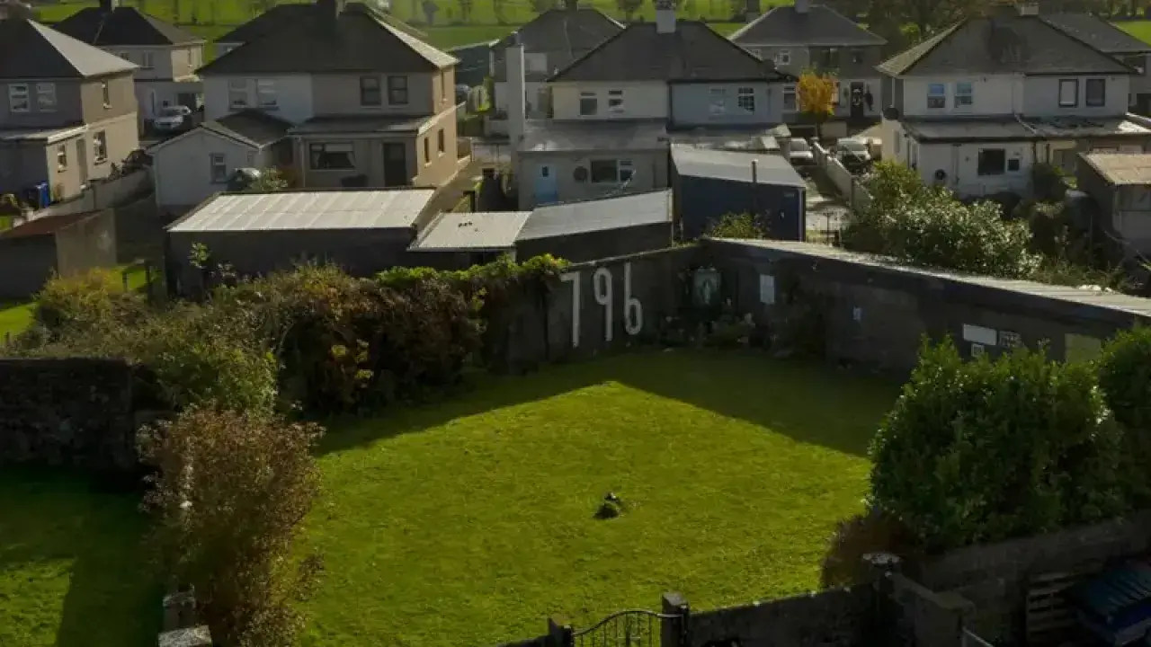 Childrens Burial GroundBurial ground · 414 yd
 Lowertown Househouse · 528 yd
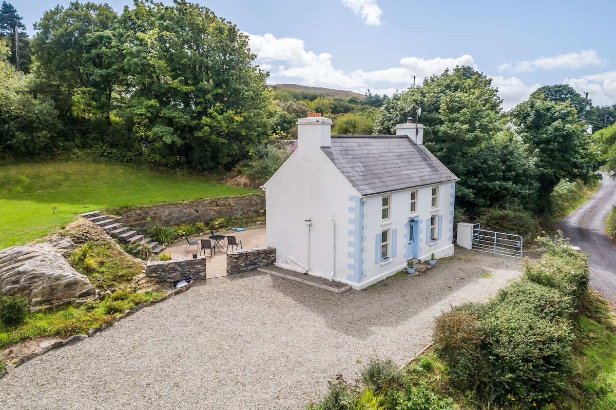 Hut site in DrinaneHut site · 1162 yd
 Castle (in Ruins)Castle, unclassified · 1636 yd
 Coney IslandIslet · 1.3 mi
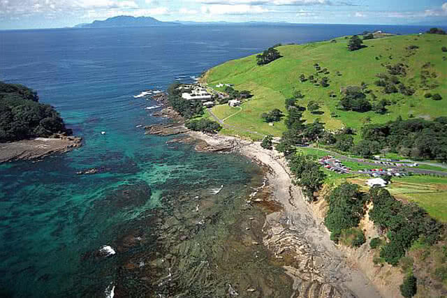 Goat IslandIslet · 1.7 mi
 AltarViewpoint · 2.0 mi
 Sailor's HillViewpoint · 2.1 mi
 Schull HarbourBay · 2.7 mi
 Cadogan's StrandHeritage attraction · 3.0 mi
 Coosheen PointHeadland · 3.0 mi