What is recorded here
Situated in the N interior of a cashel (CL008A004----), this collapsed and dug-out Man-made underground passage comprises a curving trench (est. L c. 5m NNW-SSE; max. D 1m) with remains of a drystone wall visible in the E side, and a single stone set near the N end which may be part of the N wall of a chamber. A shallower depression (L 2m) lies immediately S of the trench. Along the upper E edge of the trench is a low earthen mound (Wth 1.5m), which appears to be spoil from when the Man-made underground passage was dug out.
The following images have been uploaded:
CL008A004002-_01.jpg View from SE
CL008A004002-_02.jpg View from SW
Compiled by: Mary Tunney and Conn Herriott
Date of upload: 9 January 2023
The monument record does not grant public access. Check the route and ask the landowner before entering private land.
- What survives
- Recorded monument
Places near here
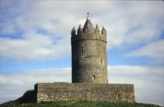 Doonnagore Castlecastle/fortified house · 667 yd
 Doonagore Castle in ruinsCastle, tower house · 668 yd
 CaherEnclosure · 1087 yd
 Enclosure in DoonnagoreEnclosure · 1088 yd
 Doolin Cliff WalkWalking route · 1494 yd
 bridgebridge · 1528 yd
 Doolin FerriesHeritage attraction · 1743 yd
 Wild Atlantic Way: Doolin PierVisitor information · 1754 yd
 Ballaghaline PointHeadland · 1.0 mi
 Doonmacfelim Castle (in Ruins)Castle, tower house · 1.0 mi
 Fisherstreet PotCave · 1.1 mi
 Crab IslandIslet · 1.2 mi