What is recorded here
For descriptive account see O'Sullivan and Sheehan (1996, 230, no. 870, 'A second Man-made underground passage…in the woods…').
The above description is derived from the published 'Archaeological Inventory of County Kerry. Volume I: South-West Kerry' (Dublin: Stationery Office, 2009). In certain instances the entries have been revised and updated in the light of recent research.
Date of upload: 30 May 2011
The monument record does not grant public access. Check the route and ask the landowner before entering private land.
- What survives
- Recorded monument
Places near here
 Páirc Náisiúnta Stairiúil Dhoire Fhíonáin / Derrynane National Historic ParkNature reserve · 256 yd
 Man-made underground passage in Doire Fhionáin MórMan-made underground passage · 291 yd
 Derrynane Caiseal RingfortArchaeological place · 293 yd
 Derrynane House / Teach Dhoire FhionáinHeritage attraction · 474 yd
 Teach Dhoire Fhíonáin [Derrynane House]country house · 484 yd
 Derrynane Bay Beach / Trá Bhá Doire FhionáinBeach / strand · 667 yd
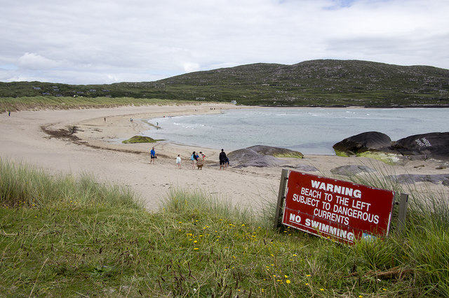 Derrynane Beach / Trá Doire FhíonáinBeach / strand · 931 yd
 Abbey (in ruins)Church · 944 yd
 Ogham StoneVisitor information · 1075 yd
 Lamb's IslandIslet · 1182 yd
 Abbey IslandIslet · 1345 yd
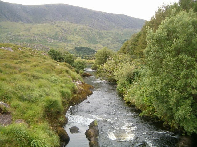 Eagle HillMountain / peak · 1.3 mi