
What is recorded here
Ten metres of stone chamber and a narrow ventilation shaft still hold their shape beneath the southern quadrant of the Cush ringfort. Ó Ríordáin exposed them during 1934 and 1935, separating a straight older portion from a wider later addition. The completed passage may have served the fort as a shelter, store or ceremonial space, while its invisible position on modern satellite images returns it to the quiet dominance of the land above.
Man-made underground passage in S quadrant of bivallate ringfort (LI048-034037-) excavated by Ó Ríordáin (1940, 128-132) between 1934-5. A second Man-made underground passage (LI048-034033-) was uncovered in the N quadrant of the ringfort. Excavations uncovered the remains of a Man-made underground passage (L. 10m; Wth 0.9m - 1.5m), described by Ó Ríordáin (1940, 128-9) as; 'The southern Man-made underground passage was 33 feet [10m] in length and had attached to its southern end a ventilation passage 16 feet [4.9m] long. The Man-made underground passage may be regarded as of two parts, which a break in the continuity of the stone walls showed to have been built at different dates. The southern portion of the Man-made underground passage was fairly regularly straight-sided but closed in somewhat where it met the more irregularly-built northern portion. The southern part was somewhat under 3 feet [0.9m] in width but the northern part widened, by reason of a bend in the eastern wall to 5 feet [1.5m]. The symmetrical plan of the southern portion of the structure and the inferior stone-work of the northern part suggest that the latter was the later addition. The ventilation shaft of this Man-made underground passage was the best example of this feature found in any of the Cush Man-made underground passages. It was almost sixteen feet long and had a width of 10 inches [0.25m] internally. Some of the covering of flat slabs remained in position. The depth was on an average about 1 foot [0.3m], though some of the side slabs had a height of 19 inches [0.48m]. The ventilation passage joined the end wall of the Man-made underground passage at the top, at a height of 5 feet [1.5m] above the floor'. No surface remains visible on Digital Globe orthoimage taken between 2011-13 or on Google Earth orthoimages.
See attached plans from Ó Ríordáin and Google Earth orthoimages.
Compiled by: Fiona Rooney
Date of upload: 25 August 2021
The monument record does not grant public access. Check the route and ask the landowner before entering private land.
- What survives
- Recorded monument
Places near here
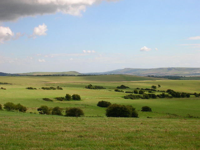 Field system in CushField system · 100 yd
 Hachured (1928), Temair Erann (Supposed Site of)Fairy fort / earthen ringfort · 107 yd
 Quarry in CushQuarry · 131 yd
 Ballinvreena LoopVisitor information · 1037 yd
 Bosnetstown Villahouse · 1249 yd
 SlievereaghMountain / peak · 1.7 mi
 Palatine's RockNamed rock · 1.8 mi
 Castle (in ruins)Castle, tower house · 1.9 mi
 Ballyhoura WayWalking route · 2.0 mi
 Ballyhoura tourist informationVisitor information · 2.0 mi
 Treada Na Ríogh (The Moat), hachuredCastle, motte · 2.0 mi
 Edmund's WellSpring · 2.1 mi
Other information
Photo: Credit not shown in the picture search · Rights wording not checked; contact us if this picture should be removed