What is recorded here
The passage of a Man-made underground passage lies on the edge of an elevated escarpment above the river Boyne. It is of drystone construction and consists of a simple, unrestricted passage leading into a small terminal chamber entered via an ante-chamber. The original entrance is blocked. It is aligned E-NE/W-SW ( L 6.5m, Wth 0.8m, H 1.1m) before it turns SW towards the terminal chamber ( L 3.8m). This is corbelled with an oval plan (dims. NE-SW 2.5m, N-SE H 1.7m). It is built of drystone walling with local limestone and sandstone. Greywacke is used in the capstones of the chamber. A detailed archaeological and geophysical survey of the immediate area was carried out in 2010 during which a number of additional and potentially significant archaeological features were identified (Fenwick, Dowling and Schot 2010). These previously unrecorded features include a second potential Man-made underground passage, a substantial earthen embankment, a low-relief linear earthwork and a well, in addition to geophysical evidence of a large circular, or sub-circular, enclosure (possibly a ringfort) (ME019-090---) and an adjacent field system (ME019-091----). All are situated in close proximity to one another on elevated ground overlooking the River Boyne, some 200m to the south. (Fenwick et al. 2012)
Compiled by: Geraldine Stout
Date of upload: 11 November 2013
See attached jpeg image which shows location map of Man-made underground passage and other archaeological features, taken from Fenwick, Dowling and Schot 2010 report.
The monument record does not grant public access. Check the route and ask the landowner before entering private land.
- What survives
- Recorded monument
Places near here
 Enclosure in CrewbaneEnclosure · 124 yd
 IndicatedEnclosure · 224 yd
 Knowth Fox CovertWood · 1223 yd
 KnowthArchaeological place · 1300 yd
 Knowth Timber CircleHeritage attraction · 1360 yd
 Fennor CastleCastle · 1.2 mi
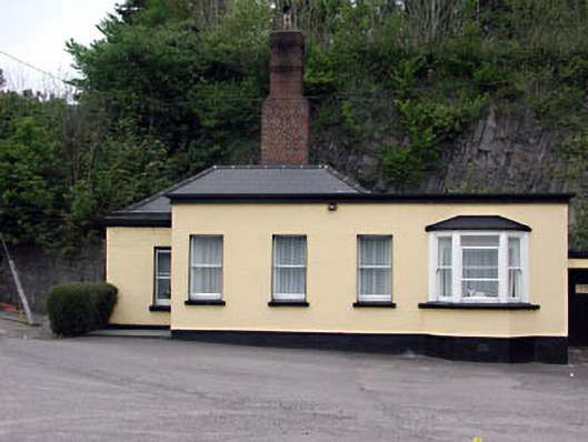 Slane Millgate lodge · 1.3 mi
 Catholic Church of the Nativity of Our Ladychurch/chapel · 1.3 mi
 RiverviewMemorial · 1.3 mi
 Little WoodForest · 1.6 mi
 CastleCastle, motte · 2.3 mi
 Brú na Bóinne Visitors CentreVisitor information · 2.5 mi