What is recorded here
Not indicated on any edition of the OS 6'' map. In 1991 a fieldworker visiting Creggyconnell cashel (SL008-117001-) recorded a hollow (L c.3m; D 0.4m) within the interior, which the fieldworker interpreted as a a collapsed Man-made underground passage (SMR (1989) file). The cashel is very overgrown with scrub and this potential monment was not identified.
Compiled by: Patrick F. O'Donovan
Date of upload: 21 April 2011
The monument record does not grant public access. Check the route and ask the landowner before entering private land.
- What survives
- Recorded monument
Places near here
 IndicatedFairy fort / earthen ringfort · 149 yd
 LiscarraghFairy fort / earthen ringfort · 462 yd
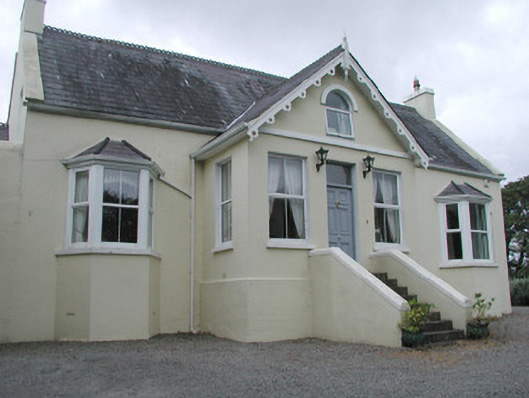 Saint Helen'shouse · 1346 yd
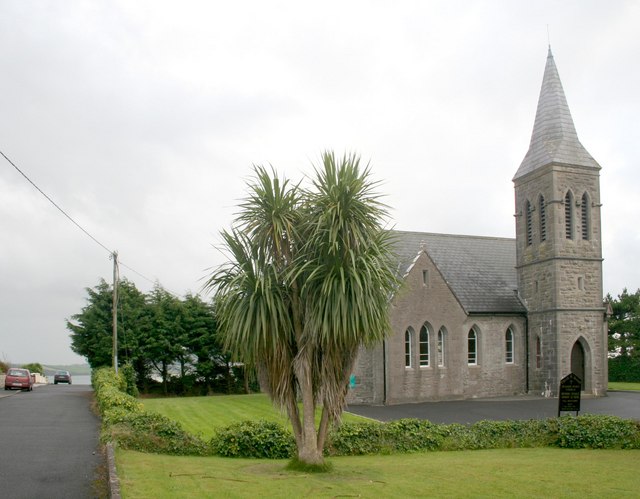 Rosses Point Church (Drumcliff)church/chapel · 1672 yd
 CastleCastle, unclassified · 1.3 mi
 Grave of WB YeatsHeritage attraction · 1.7 mi
 Waiting on ShoreMemorial · 1.7 mi
 Drumcliff CemeteryGraveyard · 1.7 mi
 Oyster IslandIslet · 1.7 mi
 Finned PointHeadland · 1.8 mi
 Rosses Point BeachBeach / strand · 1.9 mi
 Drumcliff BayBay · 2.1 mi