
What is recorded here
Located at the bottom of the S-facing slope of an ENE-WSW drumlin ridge. The Irish Folklore Commission Schools MSS (949, 314) noted that a ‘cave’ was discovered during turf cutting operations on the site of Crappagh National School, and the cave might be interpreted as a Man-made underground passage. See this web-page accessed on 19/04/2018: https://www.duchas.ie/en/cbes
Revised by: Michael Moore
Date of revised upload: 8 May 2018
The monument record does not grant public access. Check the route and ask the landowner before entering private land.
- What survives
- Recorded monument
Places near here
 Tomb HillMountain / peak · 539 yd
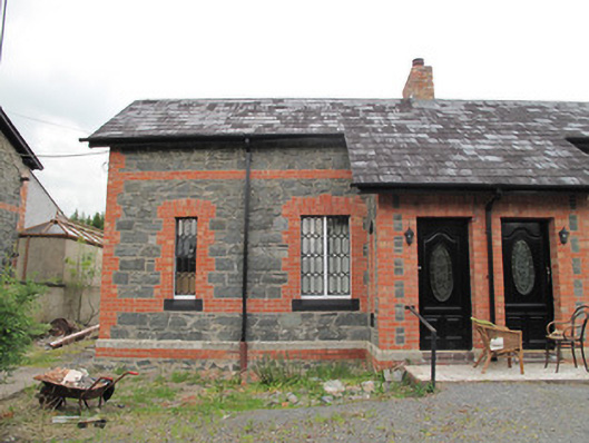 worker's houseworker's house · 603 yd
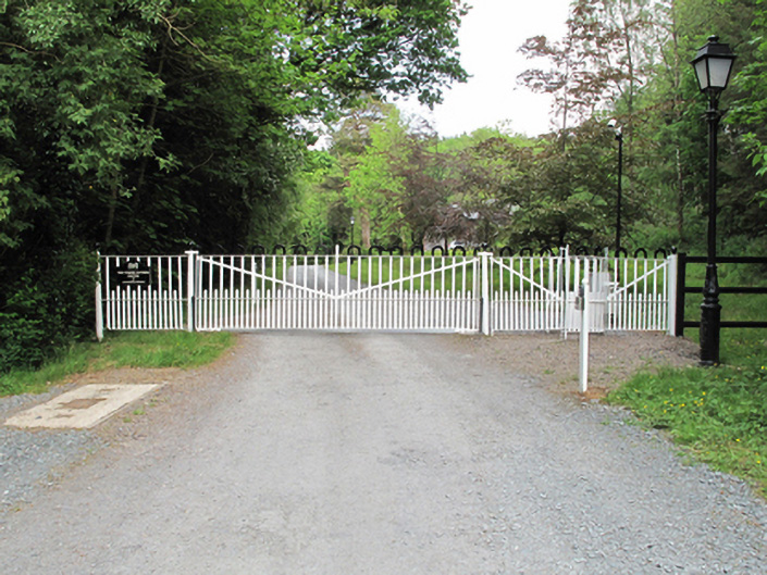 Annaghmakerig Housedemesne walls/gates/railings · 804 yd
 Corduff fortFairy fort / earthen ringfort · 920 yd
 Crannog in Mullaghmore (dartree By.)Crannog · 1301 yd
 Rabbitburrow WoodWood · 2.9 mi
 Brown Bog WoodForest · 3.1 mi
 Lisarrilly HillMountain / peak · 3.3 mi
 Roosky Castle (Site of)Castle, ringwork · 3.4 mi
 Saint John's WellSpring · 4.1 mi
 Jaundice WellSpring · 5.1 mi
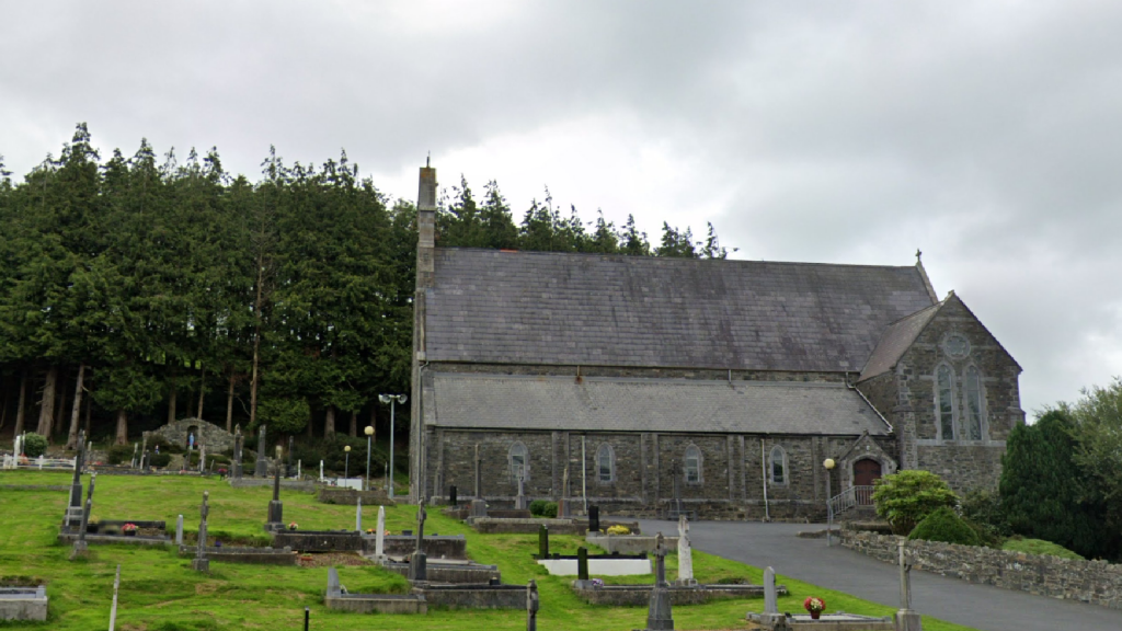
 Aghabog Churchchurch/chapel · 880 yd
Other information
Photo: Credit not shown in the picture search · Rights wording not checked; contact us if this picture should be removed