What is recorded here
Corlisbannan rath in County Cavan, Ireland holds a wide shallow depression extending fourteen metres from its centre to the inner bank. The passage collapsed long ago, leaving behind a ghostly shadow rather than a visible tunnel. People may have walked beneath the earth there, escaping rain or entering the dark with purpose now lost.
At Corlisbannan rath (CV005-021001-). Extending from the centre of the internal area to the inner face of the bank at NW is a wide, shallow depression (L 14m; Wth 3m) which may represent the remains of a collapsed Man-made underground passage.
The above description is derived from the published 'Archaeological Inventory of County Cavan' (Dublin: Stationery Office, 1995). In certain instances the entries have been revised and updated in the light of recent research.
Date of upload/revision: 22 December 2008
The monument record does not grant public access. Check the route and ask the landowner before entering private land.
- What survives
- Recorded monument
Places near here
 Corratober UpperMountain / peak · 561 yd
 Sweat Ho.Sweathouse · 732 yd
 IndicatedFairy fort / earthen ringfort · 822 yd
 CarrickbrannanMountain / peak · 1.1 mi
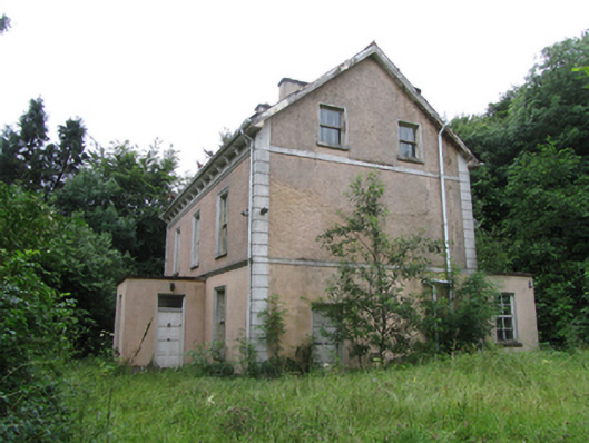 Corrard Househouse · 1.3 mi
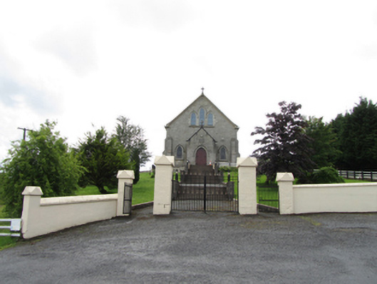 Church of the Immaculate Conceptionchurch/chapel · 1.4 mi
 Corrard ForestForest · 1.5 mi
 TobermurrySpring · 1.5 mi
 PlaygroudCliff · 1.8 mi
 Republican Garden of RemembranceMemorial · 2.0 mi
 CarrignahastaCliff · 2.4 mi
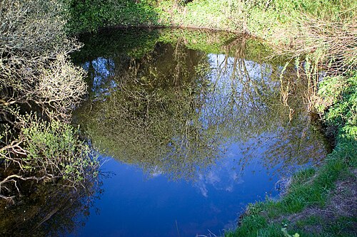 Shannon PotSpring · 3.1 mi