What is recorded here
This Man-made underground passage, of drystone construction, located in a low hillock, in gently undulating pasture. An opening (0.6m wide x 0.4m high) into the Man-made underground passage is located within a depression on the summit of the hillock. A vertical drop through the opening provides access into the E end of a passage (10.2m E−W; 1.1m N−S; H 1.2m high) with a clay floor. At the W end of the passage, there is a constriction or creep (1.2m E−W; 0.5m N−S; H 0.7m), which opens onto the NE end of a rectangular chamber (4.4m N−S; 1m E-W; H 1.4m high). The chamber, which extends to the S, lies perpendicular to the passage, giving the Man-made underground passage an L-shaped plan. There is a possible vent (c. 1m E-W; Wth 0.3m; H 0.3m) at the N end of the W wall of the chamber, and a recess (c. 1.5m x 0.2m x 0.3m) in the S wall. The S wall appears more crudely constructed that the rest of the chamber, and may have been modified or rebuilt. A number of features post-date the original construction of the Man-made underground passage. These include: the neat piling of stone rubble (L 3.6m; Wth 0.5m; H 0.4m) along both the N and S wall of the passage, two shallow pits in the floor of the chamber, one against the W wall and one against the E wall, and a crude hearth in the NW corner of the chamber. These features appear relatively recent in date, and may relate to the local tradition that the Man-made underground passage was used as a hideout during the War of Independence.
The above information is derived from a survey of the Man-made underground passage undertaken in 2016 by Dr. Marion Dowd, Sam Moore, Ivan Sullivan and Stewart Sullivan.
Compiled by: Jane O'Shaughnessy
Revised upload: 5 December 2016
The monument record does not grant public access. Check the route and ask the landowner before entering private land.
- What survives
- Recorded monument
Places near here
 IndicatedFairy fort / stone ringfort · 141 yd
 CashelbaunFairy fort / stone ringfort · 465 yd
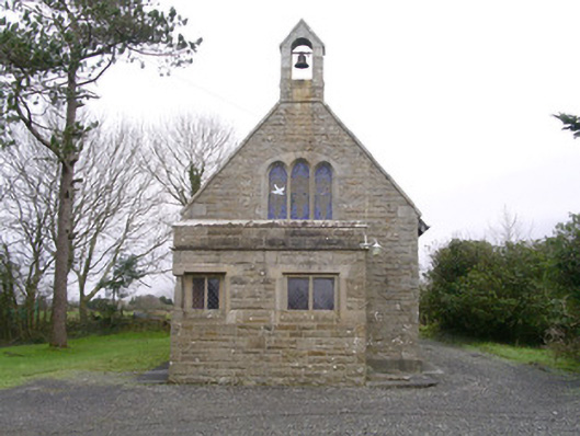 Saint Kevin's Church (Drumcliff)church/chapel · 1.0 mi
 Urlar Househouse · 1.1 mi
 Floods WoodForest · 1.4 mi
 Cat CornerWood · 1.4 mi
 Castle (in Ruins)Castle, unclassified · 1.5 mi
 BenbulbinMountain / peak · 1.5 mi
 BenbulbenMountain · 1.8 mi
 Benbulbin South-East TopMountain / peak · 2.1 mi
 CastleCastle, unclassified · 2.3 mi
 Atlantic SheepdogsHeritage attraction · 2.4 mi