What is recorded here
This Man-made underground passage was first noted c. 20 years ago when a nearby bungalow was being built. A bulldozer dislodged some lintels and at the time the resulting gap was back-filled. During recent landscape gardening, more lintels were dislodged revealing a drystone-built chamber (L5.1m, Wth at NW end 1.46m, narrowing to 1.25m at SE) aligned NW-SE. It was blocked at NW end where the previous back-filling occured, suggesting that it extends further to NW. The SE end, while also of clay, curves inwards suggesting an end-wall. A step is evident in the floor delimiting the lower NW end of the chamber from SE end.
The above description is derived from the published 'Archaeological Inventory of County Galway Vol. II - North Galway'. Compiled by Olive Alcock, Kathy de hÓra and Paul Gosling (Dublin: Stationery Office, 1999).
Date of upload: 05 August 2010
The monument record does not grant public access. Check the route and ask the landowner before entering private land.
- What survives
- Recorded monument
Places near here
 IndicatedFairy fort / ringfort · 984 yd
 Castlehacket National Schoolschool · 1158 yd
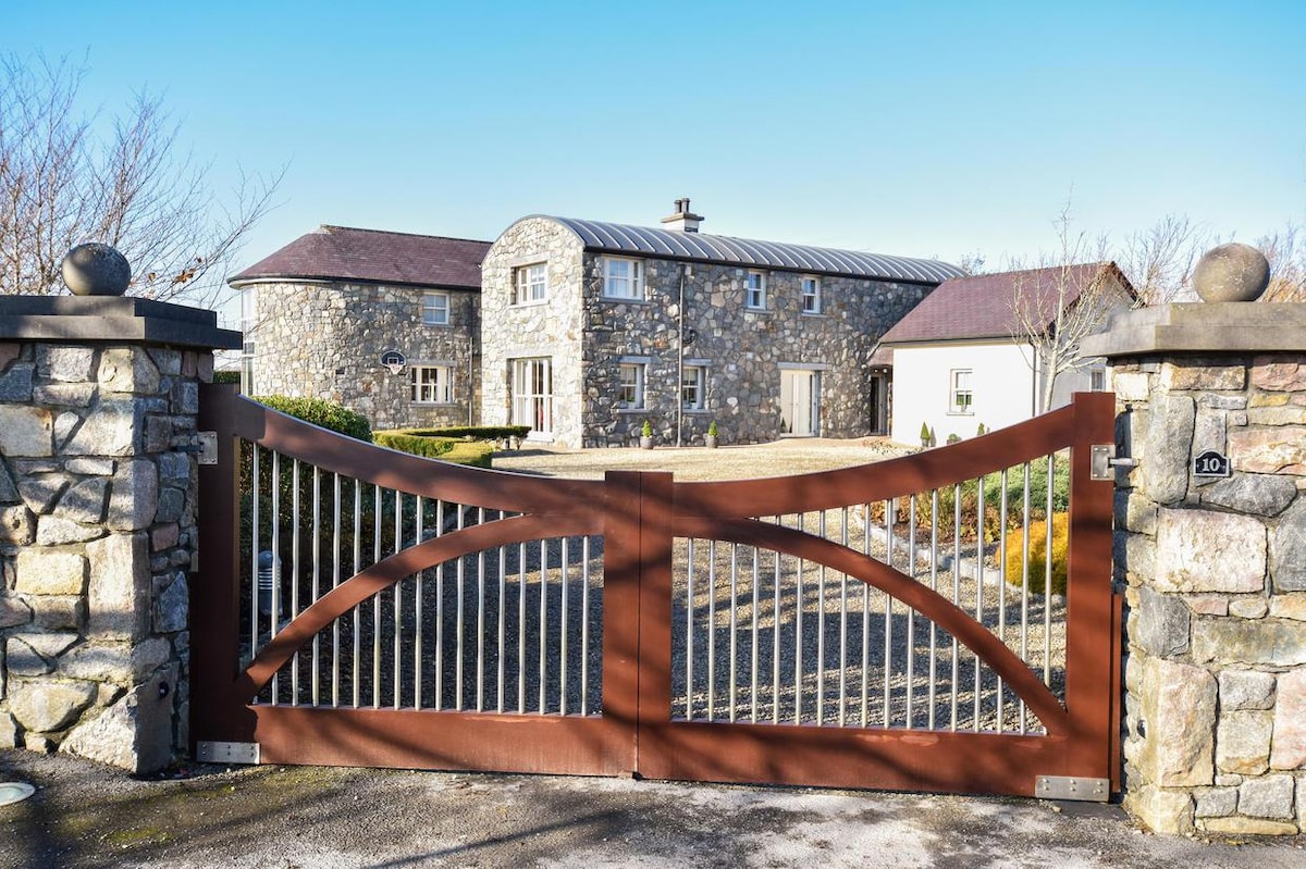 Enclosure in CluidrevaghEnclosure · 1243 yd
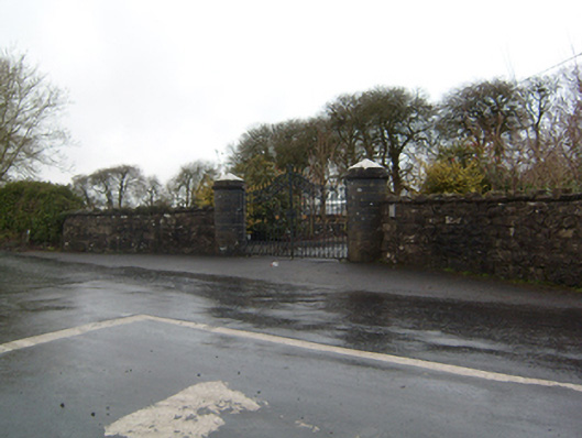 Cahermorris Housedemesne walls/gates/railings · 1.1 mi
 Site of CastleCastle, unclassified · 1.1 mi
 Kilcoona Round TowerHeritage attraction · 1.9 mi
 KnockmaaWood · 2.6 mi
 Castle in ruinsCastle, tower house · 2.8 mi
 Ballinduff BayBay · 3.7 mi
 Cregg Castle DemesneForest · 4.2 mi
 Walsh's IslandIslet · 5.5 mi
 Oileán an AoilIsland · 5.8 mi