What is recorded here
In pasture, located at the base of a N-facing slope of a small ridge. There is a rath (MA062-059) located 20m upslope to SE.
A semi-circular depression (max. dim. c. 2m E-W; D 0.6m) is cut into the base of the natural slope. Stones protrude from the sod around its top edge. According to local tradition, this is the blocked up entrance to a ‘cave’ or Man-made underground passage. A bush grows out of the depression.
Compiled by: Jane O’Shaughnessy
Date of upload: 30 November 2020
The monument record does not grant public access. Check the route and ask the landowner before entering private land.
- What survives
- Recorded monument
Places near here
 bridgebridge · 1721 yd
 IndicatedFairy fort / earthen ringfort · 1.2 mi
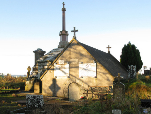 mausoleummausoleum · 1.6 mi
 Enclosure in KillaturlyEnclosure · 1.8 mi
 Procession Of The SoulsMemorial · 1.9 mi
 Brabazon WoodsForest · 2.0 mi
 Youth Memorial GardenMemorial · 2.3 mi
 HawthornHawthorn · 3.3 mi
 Castle (in Ruins)Castle, unclassified · 3.7 mi
 Hennigan's Heritage CentreHeritage attraction · 3.8 mi
 Thorn CaveCave · 5.1 mi
 Kiltimagh MuseumMuseum · 8.2 mi