What is recorded here
On a slight rise (dims c. 40m N-S; c. 20m E-W; H 1.5m at S) towards the SE end of a NW-SE ridge. This is an L-shaped underground passage with an modern opening at the angle from which a drystone-built passage (dims 6.6m WNW-ESE; 1.2m NNE-SSW; max. H 1.2m) runs E to where it was blocked. An inaccessible part of the passage ran SSW (dims c. 2m NNE-SSW; c. 1.5m WNW-ESE) to an undifferentiated terminal. It is now closed.
Compiled by: Michael Moore
Date of upload: 24 August 2010
The monument record does not grant public access. Check the route and ask the landowner before entering private land.
- What survives
- Recorded monument
Places near here
 Moat, Castle (Site of)Fairy fort / earthen ringfort · 868 yd
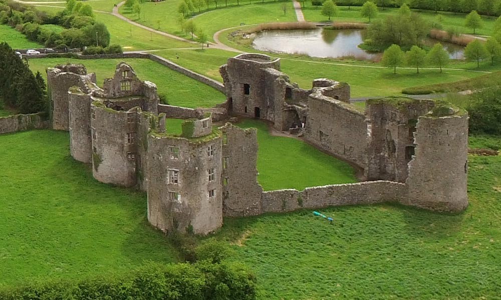 IndicatedFairy fort / earthen ringfort · 1050 yd
 RoadRoad, road/trackway · 1383 yd
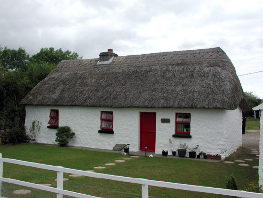 Dream Cottagehouse · 1.2 mi
 CastleCastle, Anglo-Norman masonry castle · 1.9 mi
 Silver IslandIslet · 3.2 mi
 CastlerubyCastle, unclassified · 3.5 mi
 Workhouse MemorialMemorial · 3.7 mi
 ToberagullaSpring · 5.2 mi
 European ashEuropean ash · 5.2 mi
 Clonalis HouseMuseum · 5.5 mi
 HawthornHawthorn · 5.5 mi