
What is recorded here
Towards the top of the S-facing slope of Mewlaghadooey Hill, approaching the line of the perimeter of hillfort (RO027-014001-) at S and just W of ring-barrow (RO027-014003-). Two parallel features (max. Wth c. 28m; max. L c. 120m) aligned NNW-SSE, represented by a low earthen bank (Wth 6.4m; int. H 0.6m; ext. H 0.1m) at E and a low scarp (H 0.6m) at W are badly damaged by old quarry pits and tare runcated by a NNE-SSW field bank and townland boundary with Bohagh to the E.
Compiled by: Michael Moore
Date of upload: 24 August 2010
The monument record does not grant public access. Check the route and ask the landowner before entering private land.
- What survives
- Recorded monument
Places near here
 Hillfort in Carrowgarve (castlereagh By.),castleteheen,mewlaghmoreHillfort · 139 yd
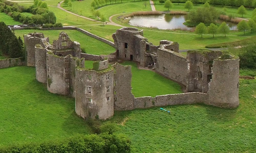 IndicatedFairy fort / earthen ringfort · 334 yd
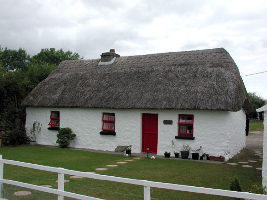 Dream Cottagehouse · 1.2 mi
 Southpark HouseRuins · 1.3 mi
 CastleCastle, Anglo-Norman masonry castle · 2.0 mi
 Silver IslandIslet · 2.4 mi
 Workhouse MemorialMemorial · 2.9 mi
 Castlereagh HouseCastle, unclassified · 3.3 mi
 Clonalis HouseMuseum · 4.7 mi
 HawthornHawthorn · 6.1 mi
 Site of Killomaine Grave YardArchaeological place · 6.9 mi
 Rook HillMountain / peak · 8.1 mi
Other information
Photo: Credit not shown in the picture search · Rights wording not checked; contact us if this picture should be removed