What is recorded here
Two metres east of the entrance, the roof has already fallen, leaving a shallow circular scar in the earth. The chamber itself is narrow, barely tall enough to stand in, and built with lintels heavy enough to bear the weight of a field. Whoever cut this passage under a possible rath did not build it for show. They built it for use, and the collapse suggests the use stopped abruptly.
In a possible rath (CO147-070001-). An opening in the ground, surrounded by stones, leads down to a stone-built Man-made underground passage chamber (Wth c. 0.9m; H 0.7m) roofed with lintels. The chamber extends to the E but for safety reasons it was not entered. A roughly circular depression (diam. 2m; D 0.1m) 6m to the E of the opening probably indicates further collapse.
The above description is derived from 'The Archaeological Inventory of County Cork. Volume 5' (Dublin: Stationery Office, 2009).
Date of upload: 22 December 2009
The monument record does not grant public access. Check the route and ask the landowner before entering private land.
- What survives
- Recorded monument
Places near here
 IndicatedFairy fort / earthen ringfort · 1 yd
 Castle (Site of)Castle, unclassified · 141 yd
 Structure in Greenane (carbery W. (w.d) By.)Structure · 880 yd
 Church in Kilbarry (carbery West (w.d) By.)Church · 892 yd
 Church in CrookhavenChurch · 949 yd
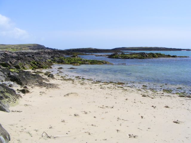 Galley Cove BeachBeach / strand · 1.1 mi
 Creamery PlatformMemorial · 1.7 mi
 Chimney CoveBeach / strand · 1.9 mi
 Barley CoveHeritage attraction · 2.2 mi
 KnocknamaddreeMountain / peak · 2.5 mi
 KnockboyMountain / peak · 2.6 mi
 Ballyrisode PointHeadland · 3.2 mi