What is recorded here
Located on the W side of the interior of Castlegowan cashel (SL005-015----). A low circular pile of limestone rubble (diam. 1.5m; H 0.1m) may be blocking the entrance to a Man-made underground passage as the ground beneath the rubble and the immediate area around feels hollow underfoot.
Compiled by: Patrick F. O'Donovan
Date of upload: 22 April 2013
The monument record does not grant public access. Check the route and ask the landowner before entering private land.
- What survives
- Recorded monument
Places near here
 IndicatedFairy fort / stone ringfort · 249 yd
 CashelnamaddaFairy fort / stone ringfort · 1065 yd
 Church (in Ruins)Church · 1376 yd
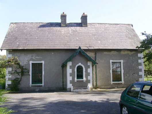 Denver Lodgehouse · 1.3 mi
 BenwiskinMountain / peak · 1.6 mi
 Gleniff Horseshoe DriveViewpoint · 1.9 mi
 Gleniff Horseshoe Drive 2Viewpoint · 1.9 mi
 Benwiskin South TopMountain / peak · 2.2 mi
 Creevykeel Court TombNeolithic court tomb · 2.2 mi
 Trawalua StrandBeach / strand · 2.4 mi
 Classiebawn WoodsWood · 2.7 mi
 Dermot & Grania's BedCave · 2.7 mi