What is recorded here
In S half of a ringfort (GA042-079----). A partially stone-filled linear hollow is visible directly inside the enclosing wall of the cashel. This follows a N-S axis (L 5m) before curving gently to NE (L 4m). The S part is almost totally filled with stone but traces of stone-facing are visible on the sides of the curving N end. This averages 0.8m in width and up to 0.7m in depth.
The above description is derived from the published 'Archaeological Inventory of County Galway Vol. II - North Galway'. Compiled by Olive Alcock, Kathy de hÓra and Paul Gosling (Dublin: Stationery Office, 1999).
Date of upload: 05 August 2010
The monument record does not grant public access. Check the route and ask the landowner before entering private land.
- What survives
- Recorded monument
Places near here
 Connells FortArchaeological place · 270 yd
 CaherFairy fort / stone ringfort · 598 yd
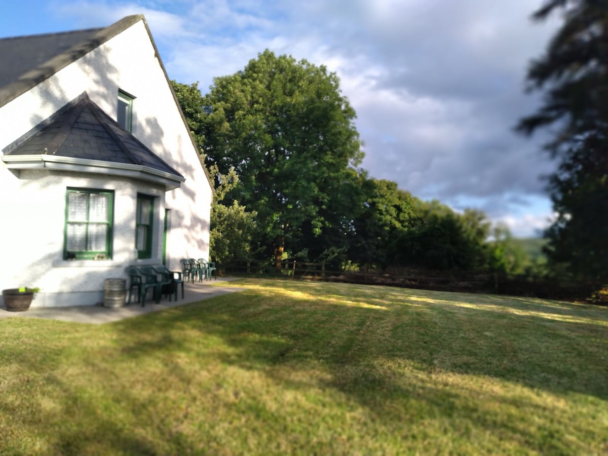 Country house in Barnaboy (headford By.)Country house · 1175 yd
 Donaghpatrick Church in ruinsChurch · 1435 yd
 Castle Hacket (in ruins)Castle, hall-house · 2.1 mi
 KnockmaaWood · 2.2 mi
 Bawn in ArdrumkillaBawn · 2.4 mi
 Kilcoona Round TowerHeritage attraction · 2.6 mi
 Pesooge PlantationForest · 4.4 mi
 Ross Errilly FriaryHeritage attraction · 4.6 mi
 Mass RockNamed rock · 4.8 mi
 Ballinduff BayBay · 5.0 mi