What is recorded here
In a ringfort/cashel (MA062-086----). In the N half of the ringfort interior, there are a number of shallow interconnected hollows or surface depressions, covering an area of c. 10−11m N–S by c. 5m E–W, partly obscured by overgrowth and difficult to examine. The largest hollow (L c. 10m N−S; Wth 2.6m; D 0.5m) is linear, extending S into the interior from close to the scarp at N. There are smaller subcircular hollows to S and E. Stones appear to protrude from the borders of some hollows. They may simply be the result of disturbance/quarrying or they might indicate the presence of a Man-made underground passage.
Compiled by: Jane O’Shaughnessy
Date of upload: 25 November 2020
The monument record does not grant public access. Check the route and ask the landowner before entering private land.
- What survives
- Recorded monument
Places near here
 IndicatedEnclosure · 1006 yd
 ToberbrideHoly well · 1078 yd
 Brabazon WoodsForest · 1447 yd
 handball alleyhandball alley · 1.0 mi
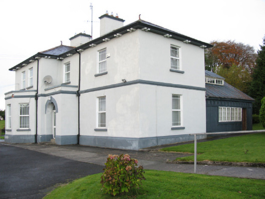 Catholic Church of Our Lady Help of Christianspresbytery/parochial/curate's house · 1.0 mi
 Procession Of The SoulsMemorial · 1.2 mi
 Youth Memorial GardenMemorial · 1.2 mi
 Thorn CaveCave · 2.7 mi
 HawthornHawthorn · 3.3 mi
 Castle (in Ruins)Castle, unclassified · 3.6 mi
 Hennigan's Heritage CentreHeritage attraction · 3.7 mi
 Kiltimagh MuseumMuseum · 5.9 mi