What is recorded here
In pasture, on the summit of a hillock with views to the S over Glengarriff Harbour. An opening (1m E-W; 0.9m N-S) caused by a collapse of earth leads into a curving passage (L 17m; Wth 1m; H 1-1.2m) which extends first to the N and the turns for a short distance to the W. The walls are mostly earth-cut but they are topped with several courses of drystone-walling to support the large stone roof lintels. Another Man-made underground passage (CO090-028----) lies c. 110m to the NNE.
The above description is derived from 'The Archaeological Inventory of County Cork. Volume 5' (Dublin: Stationery Office, 2009).
Date of upload: 22 December 2009
The monument record does not grant public access. Check the route and ask the landowner before entering private land.
- What survives
- Recorded monument
Places near here
 Man-made underground passage in CarrigrourMan-made underground passage · 124 yd
 CairnCairn, radial-stone cairn · 275 yd
 Tasmanian bluegumTasmanian bluegum · 1094 yd
 Glengarriff Eccles Hotelhotel · 1123 yd
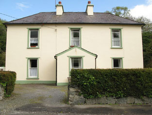 rectory/glebe/vicarage/curate's houserectory/glebe/vicarage/curate's house · 1191 yd
 Graveyard in CappyaughnaGraveyard · 1369 yd
 The Blue PoolHeritage attraction · 1373 yd
 Friars IslandIslet · 1584 yd
 Calf IslandIslet · 1714 yd
 Lady Bantry's LookoutViewpoint · 1755 yd
 Glengarriff WoodsWood · 1.3 mi
 Bryce HouseMuseum · 1.6 mi