What is recorded here
Situated on a low ridge on well drained pasture-land with good views to W & N, restricted views to E & S. The monument is covered in woodland as can be seen on Digital Globe aerial photographs taken November 2011. A low rise of ground in the centre of a ringfort (WM001-032----) represents the remains of a sub-circular house (WM001-032001-). An L-shaped depression (Wth 2.8m; D 1m) extending out from this house site at W may be the line of a Man-made underground passage (L of E-W section 8.3m; L of N-S section 8m). One arm of the L-shaped depression abuts the house on the W. The other arm of the L is parallel to the inside of the inner rath bank. There is a constriction in the middle of this arm. There may have been two beehive chambers. In the S sector of the ringfort (WM001-032----) there are remains of a smaller house or hut site of sub-circular plan.
Compiled by: Frank Coyne & Caimin O'Brien
Date of upload: 17 November 2016
The monument record does not grant public access. Check the route and ask the landowner before entering private land.
- What survives
- Recorded monument
Places near here
 Hut site in CarlanstownHut site · 1 yd
 Rock of CurryCliff · 757 yd
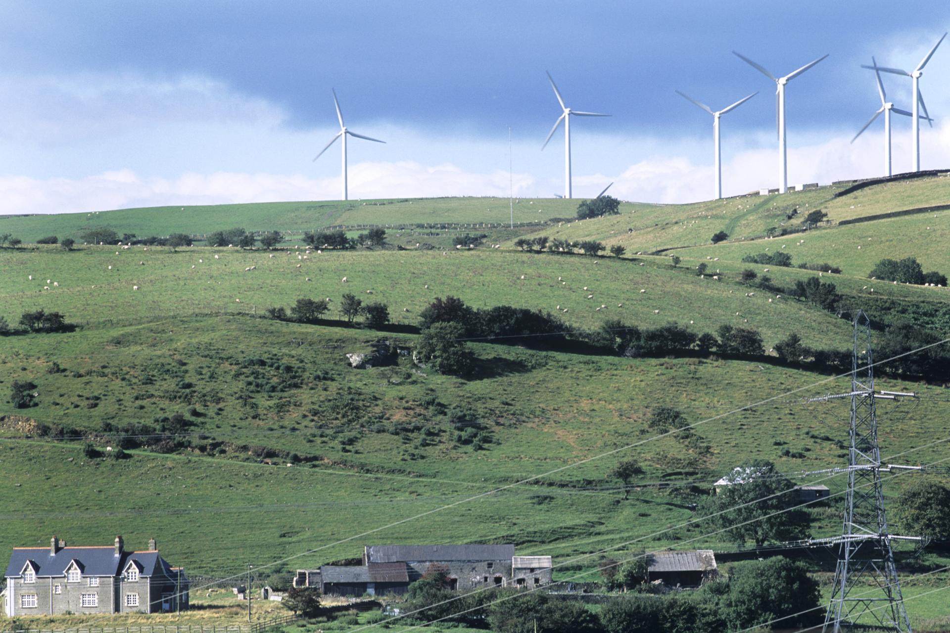 Field system in BigwoodField system · 941 yd
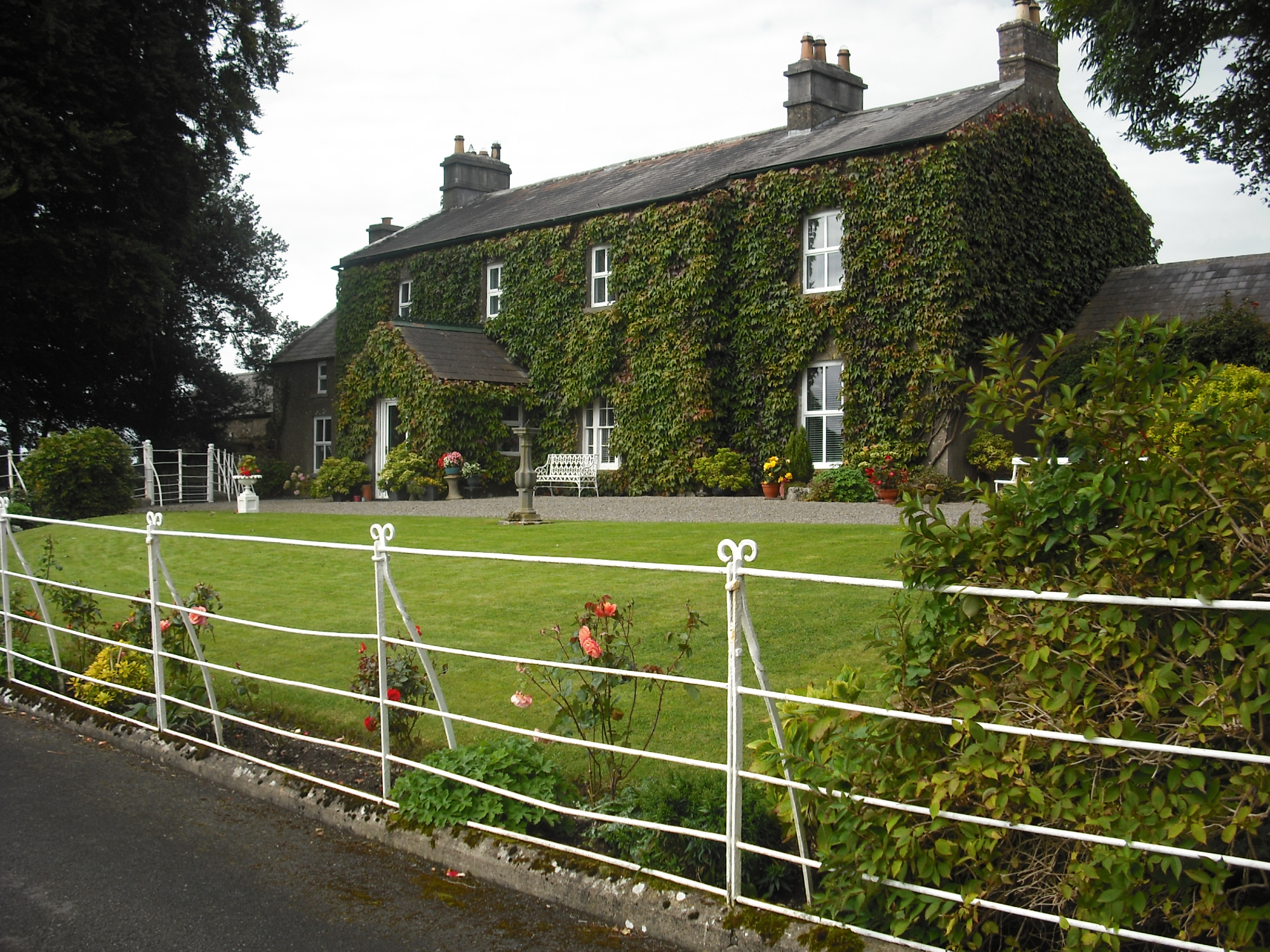 Carlanstown Housefarm house · 1074 yd
 Carlanstown CastleHouse, fortified house · 1113 yd
 Castle (in Ruins)Castle, unclassified · 1272 yd
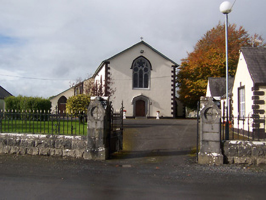 Saint Michael's Catholic Churchchurch/chapel · 1.2 mi
 Mullaghmeen White WalkWalking route · 2.1 mi
 Mullaghmeen Red WalkWalking route · 2.1 mi
 MullaghmeenMountain / peak · 2.2 mi
 Mullaghmeen ForestPicnic place · 2.2 mi
 European ashEuropean ash · 3.1 mi