What is recorded here
No visible trace remains in Cappanacush West, yet the hidden passage still belongs to the land. It may have served as a refuge, a boundary marker or a forgotten route through the fort. The earth keeps what people stopped seeing, waiting for someone to remember the shape of the hole rather than argue about whether the hole is true.
There is now no trace of the enclosure, referred to as a 'fort with a cave (KE092-031----) in it' in the OSNB (Templeno, 42).
The above description is derived from A. O'Sullivan and J. Sheehan (compilers), 'The Iveragh peninsula: an archaeological survey of South Kerry'. Cork University Press (1996), no. 649. In certain instances the entries have been revised and updated in the light of recent research.
Date of upload: 29 July 2013
The monument record does not grant public access. Check the route and ask the landowner before entering private land.
- What survives
- Recorded monument
Places near here
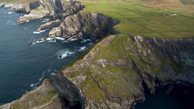 Indicated (1846).Enclosure · 275 yd
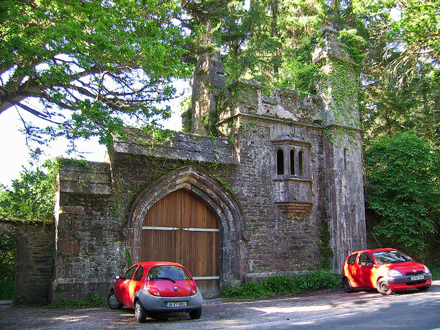 Dromore Castlegate lodge · 434 yd
 Owing (Site of)Fairy fort / earthen ringfort · 611 yd
 Cappanacush Castle (ruins)Castle · 902 yd
 Templenoe Churchchurch/chapel · 1302 yd
 Coss StrandBeach / strand · 1747 yd
 Lackeen PointHeadland · 2.1 mi
 Dinish IslandIslet · 2.4 mi
 Dunkerron Island WestIslet · 2.6 mi
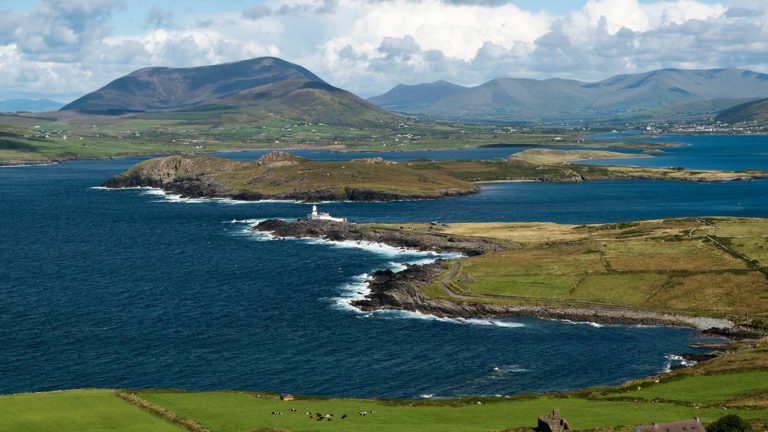 Letter SouthMountain / peak · 3.1 mi
 Dunkerron CastleCastle · 3.5 mi
 Feorus EastMountain / peak · 3.6 mi