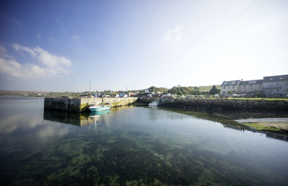
What is recorded here
Redington wrote in 1916 that the passage cut under both ramparts to the exterior, yet the surviving chamber measures only 3.9m and lies buried behind a missing lintel. That discrepancy turns the cashel into a trap for memory: either the route vanished or the chamber is all that remained when the fort was rebuilt. The lost section may still run beneath the rampart, waiting for a survey line sharp enough to find it.
Within the N half of a cashel (GA104-074001-). Redington (1916a, 52) notes that on NW side of the cashel a Man-made underground passage ‘passes under both ramparts to the exterior of the fort’. The Man-made underground passage is evident in the N sector, to the E of an internal wall, and it is indicated by three roof lintels; a fourth has been removed. The interior of the passage (L 3.9m), which appears to run NE-SW, is being used as a dump and is inaccessible. (McCaffrey 1952, 219, no. 1a)
Compiled by: Galway Archaeological Survey, UCG
Date of upload: 9 January 2017
This remains an important historical record, but the official description says the monument is no longer visible or has been destroyed. The monument record does not grant public access. Check the route and ask the landowner before entering private land.
- What survives
- No visible remains or recorded as destroyed
Places near here
 CahermoreFairy fort / stone ringfort · 887 yd
 CaherFairy fort / stone ringfort · 929 yd
 R.C. Chapel (in Ruins)Chapel · 1724 yd
 Dunkellin Bridgebridge · 1.1 mi
 Dunkellin Castle (in ruins)Castle, tower house · 1.2 mi
 Castlegar (in ruins)Castle, unclassified · 1.3 mi
 Kilcornan WoodWood · 2.0 mi
 Kilcornan ForestWood · 2.1 mi
 Drumacoo Monastic SiteHeritage attraction · 4.1 mi
 Leadmine HillMountain / peak · 7.4 mi
 Goose IslandIslet · 7.7 mi
 InishcorraIslet · 8.0 mi
Other information
Photo: Credit not shown in the picture search · Rights wording not checked; contact us if this picture should be removed